High-Desert Valley Community
Welcome to Agua Dulce, a rural Los Angeles County community in the Sierra Pelona Valley, known for Vasquez Rocks and its ranches and open space.
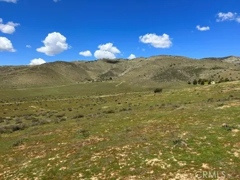
Agua Dulce is an unincorporated community in Los Angeles County, California, set in the Sierra Pelona Valley along State Route 14 between the city of Santa Clarita and the Antelope Valley communities of Palmdale and Lancaster. The community lies roughly forty-five miles north of downtown Los Angeles, in a landscape of rolling hills, canyons, and high-desert open space. Its name is Spanish for "sweet water." Agua Dulce has long had a rural, ranching character, and that identity persists today. The community is known for large lots, horse properties, and custom homes spread across the valley rather than for dense subdivision development. Equestrian activities are common, and many residents keep horses on their properties, giving the area a distinctly agricultural feel that is unusual for Los Angeles County. The community's most recognizable landmark is Vasquez Rocks, a natural area of dramatic, tilted sandstone formations that rise sharply from the valley floor. The site, named for the nineteenth-century outlaw Tiburcio Vasquez, has become one of Southern California's most famous filming locations, appearing in countless movies, television shows, and commercials. It also serves as a popular hiking and recreation destination for residents and visitors alike. Agua Dulce's rural character is balanced by its highway access. State Route 14 connects the community to Santa Clarita, the San Fernando Valley, and the wider Los Angeles region, while Palmdale and Lancaster provide additional employment and services to the north. Public education is provided by the Acton-Agua Dulce Unified School District, and nearby Angeles National Forest and the Antelope Valley extend the area's outdoor and scenic options. The community appeals to those seeking space, quiet, and a ranching lifestyle within commuting distance of the Los Angeles basin.
Agua Dulce is an unincorporated community in Los Angeles County, California, in the Sierra Pelona Valley. It lies along State Route 14 between Santa Clarita and Palmdale, about 45 miles north of Los Angeles.
Vasquez Rocks is a Natural Area Park in Agua Dulce known for its dramatic, tilted sandstone rock formations. The distinctive landscape has served as a filming location for numerous movies and television shows.
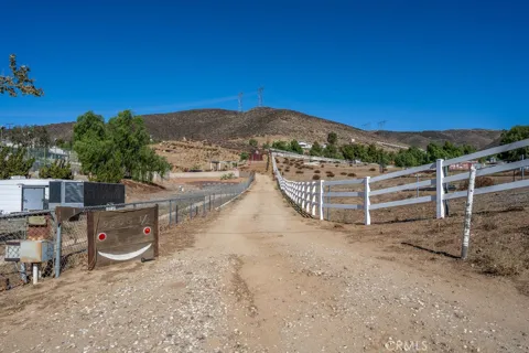
Agua Dulce is a rural community of large lots, ranches, and open space, with a strong equestrian presence. Its name means 'sweet water' in Spanish, reflecting the area's springs and rural setting.
Public education in Agua Dulce is provided by the Acton-Agua Dulce Unified School District, which serves both the community and the neighboring Acton area in the northern reaches of Los Angeles County.
City Guide
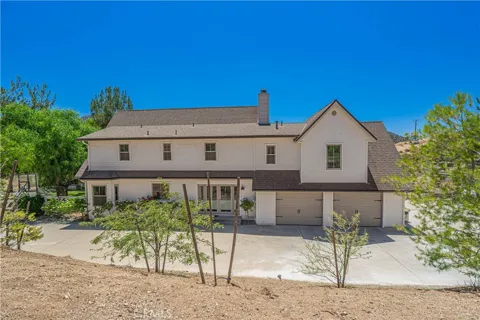
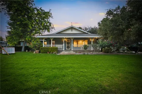
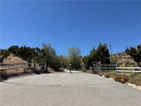
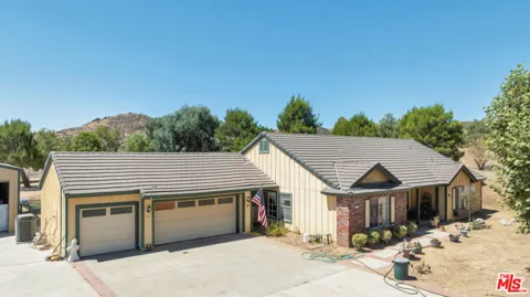
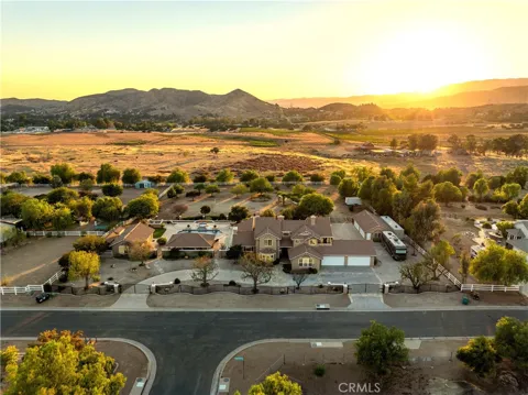
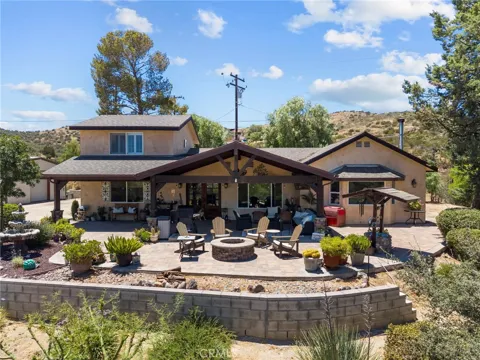
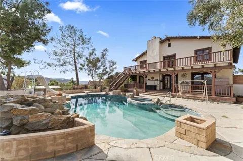
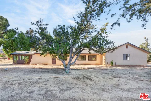
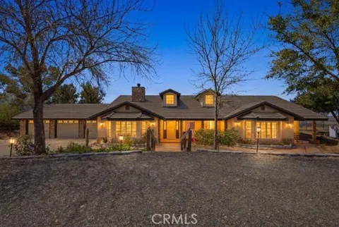
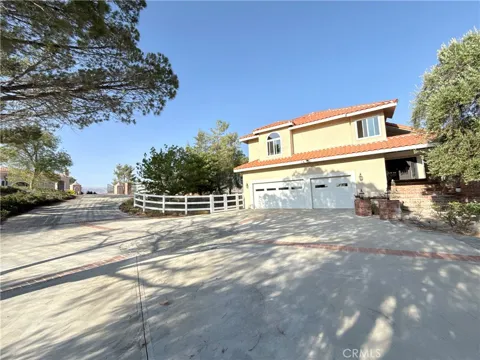
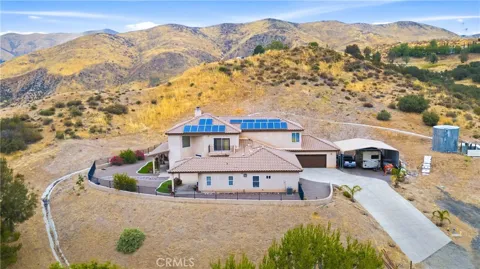
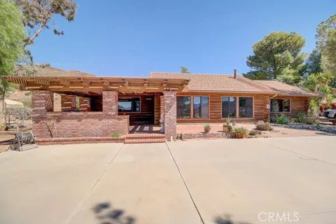
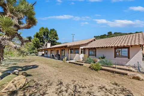
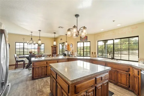
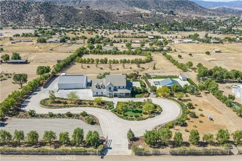
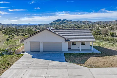
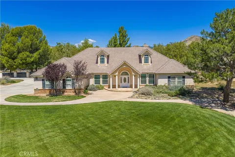
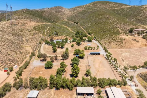
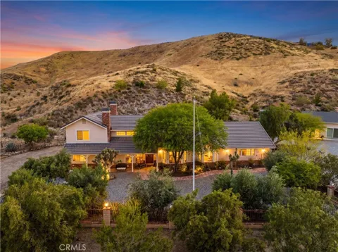
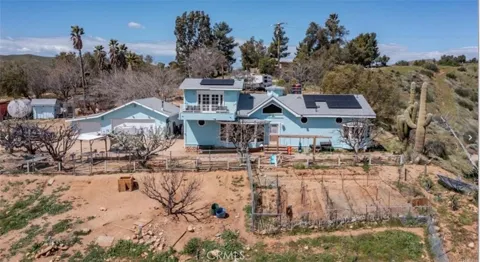
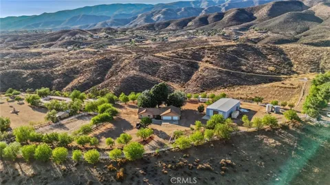
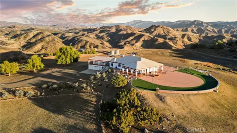
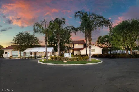
Agua Dulce's housing stock is defined by its rural, large-lot character. Rather than tract subdivisions, the community is made up of custom homes, ranch-style houses, and equestrian properties spread across the valley and its surrounding hills. Parcels tend to be large, often several acres, and many include barns, corrals, or other agricultural improvements. Some newer custom construction joins older ranch homes, but the overall pattern is one of space and separation rather than density. The community's zoning and rural identity keep development limited and preserve its open, agrarian feel.
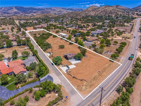
Agua Dulce does not have conventional suburban neighborhoods. Instead, the community is a loose collection of ranches, custom homes, and small commercial clusters spread along the valley floor and the State Route 14 corridor. Properties are separated by open space, arroyos, and hills, giving the area a dispersed rural pattern. The Vasquez Rocks Natural Area sits within the community and is a prominent visual landmark. This spread-out, low-density layout is central to Agua Dulce's identity and distinguishes it from the planned communities elsewhere in the county.
Agua Dulce offers a rural, ranching lifestyle unusual for Los Angeles County. Horsekeeping, large-lot living, and open space define daily life, and the community's quiet, dark-skied setting contrasts sharply with the nearby suburbs. Residents value space and privacy, with many properties accommodating livestock or equestrian use. Amenities are modest, so residents travel to Santa Clarita, Palmdale, or Lancaster for shopping, dining, and services. The result is a self-selecting community of people drawn to country living, horses, and the outdoors while remaining within commuting distance of the Los Angeles basin.
Agua Dulce is served by the Acton-Agua Dulce Unified School District, which provides K–12 education for the community and the neighboring Acton area in the northern reaches of Los Angeles County. The district's small scale reflects the region's rural, spread-out population. For higher education, College of the Canyons in Santa Clarita and Antelope Valley College in Lancaster offer community college programs within commuting distance, and California State University, Northridge and other Los Angeles-area institutions are accessible along the State Route 14 corridor.
Agua Dulce sits directly on State Route 14, the Antelope Valley Freeway, which connects the community south to Santa Clarita and the San Fernando Valley and north to Palmdale and Lancaster. This corridor is the community's principal link to the Los Angeles region. Metrolink's Antelope Valley Line provides commuter rail with stations in Santa Clarita and Palmdale for those traveling toward Los Angeles. The community's rural roads and the freeway's open, mountainous course through the Sierra Pelona Valley give it convenient access despite its country setting.
Vasquez Rocks Natural Area Park is Agua Dulce's signature recreation destination, with hiking among its tilted sandstone formations and a long history as a filming location. The surrounding hills and canyons support horseback riding, trail use, and off-road recreation, and the nearby Angeles National Forest offers extensive hiking and camping. The Antelope Valley California Poppy Reserve lies within driving distance to the north. The community's equestrian culture and open space make outdoor recreation a daily part of life rather than a destination activity.
MARKET SNAPSHOT
How homes have been selling here over the last 90 days.
Market data reflects closed sales over the last 90 days and is provided for informational purposes.
BROWSE BY ZIP
Browse listings by postal code in this area.