Westside Marina Waterfront
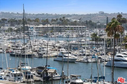
Welcome to Marina del Rey, the unincorporated Westside waterfront home to North America's largest man-made small-craft harbor, set between Venice and Playa del Rey.
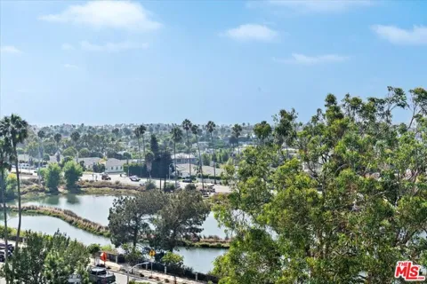
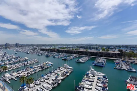
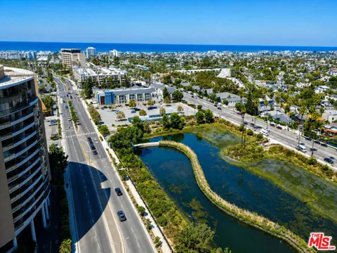
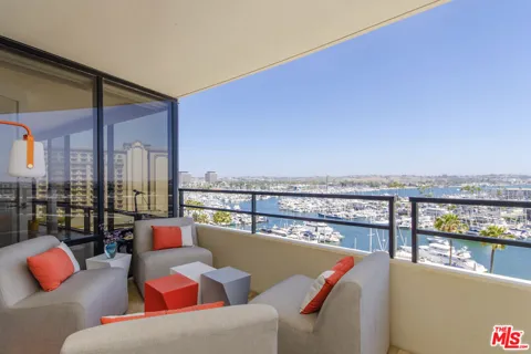
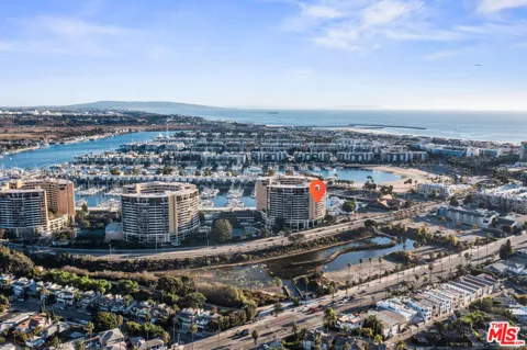
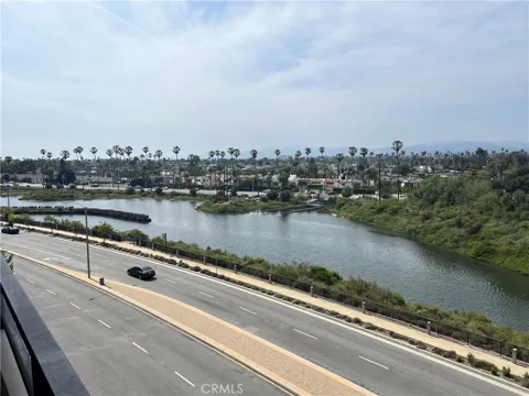
Marina del Rey is an unincorporated seaside community and census-designated place in Los Angeles County, California, on the Westside between Venice to the north and Playa del Rey to the south. The name is Spanish for "Harbor of the King," but the harbor itself is a twentieth-century creation: the area was once a tidal estuary and salt marsh frequented by duck hunters and fishermen before the U.S. Army Corps of Engineers dredged and reshaped it into a marina. The harbor was dedicated in 1965 and is North America's largest man-made small-craft harbor, with slips for about 5,000 boats. The harbor defines daily life. Waterfront walkways, yacht clubs, charter fleets, and dockside restaurants ring the basins, and high-rise and low-rise condominiums overlook the water. Residents boat, kayak, paddleboard, and bike along the coastal path that links Marina del Rey to Venice and Santa Monica. Fisherman's Village and Burton Chace Park host concerts, markets, and community events. Roughly 11,000 residents live here, a mix of professionals, young families, and retirees drawn by the water and the Westside's convenience. The Ballona Wetlands and Ballona Creek lie just inland, providing open space, while Playa Vista and Culver City sit to the east. Because the community is unincorporated, services are provided by Los Angeles County, and schools fall under the Los Angeles Unified School District. Marina del Rey's location is a defining feature: it sits immediately north of Los Angeles International Airport and within a short drive of Santa Monica, Culver City, and the Silicon Beach technology corridor. The Marina Freeway (State Route 90) and Interstate 405 link it to the region, while bus routes and the nearby Expo Line connect commuters to the rest of the Westside and downtown.
No. Marina del Rey is an unincorporated community and census-designated place in Los Angeles County. Rather than a municipal government, it is served directly by Los Angeles County departments for planning, public safety, and local services.
Marina del Rey is known for its harbor, which is North America's largest man-made small-craft harbor with slips for about 5,000 boats. It opened in 1965 on the site of a former tidal estuary.
Marina del Rey is served by the Los Angeles Unified School District. Campuses include Marina del Rey Middle School and the Westside Global Awareness Magnet near the Ballona Wetlands ecological reserve.
Marina del Rey sits immediately north of Los Angeles International Airport, roughly two to three miles away. The Marina Freeway (State Route 90) and Interstate 405 provide regional highway access, and several bus lines connect the area to Santa Monica and downtown.
Key residential areas include Silver Strand and the Marina Peninsula along the beach, the Oxford Triangle of single-family homes inland, and the condominium corridors along Admiralty Way and the harbor channels.
City Guide
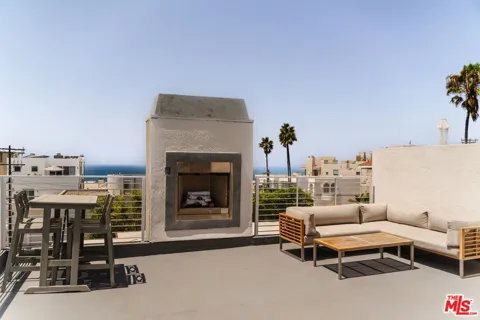
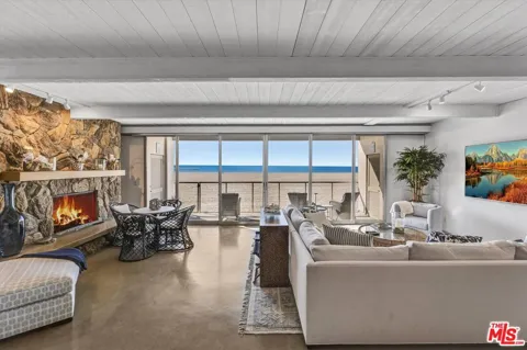
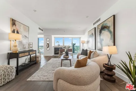
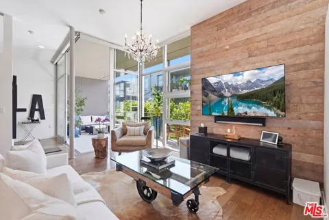
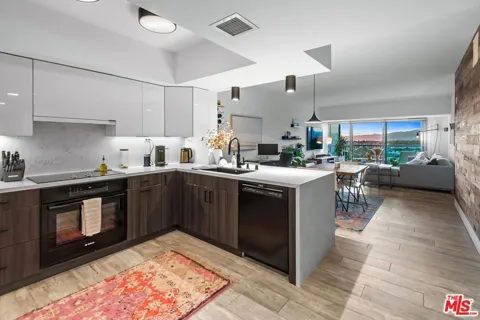
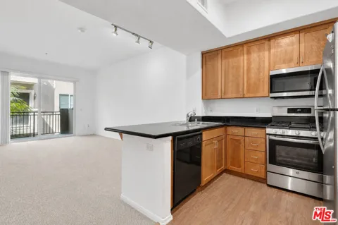
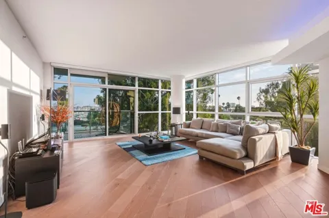
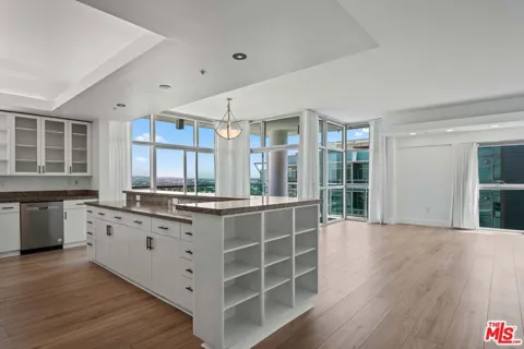
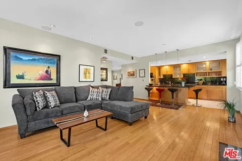
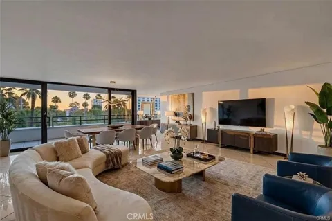
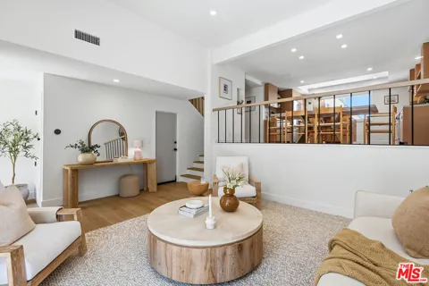
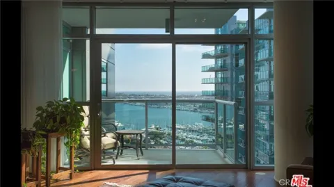
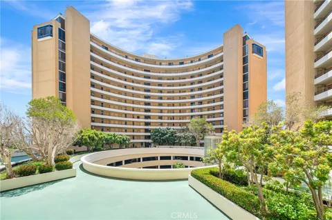
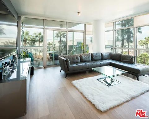
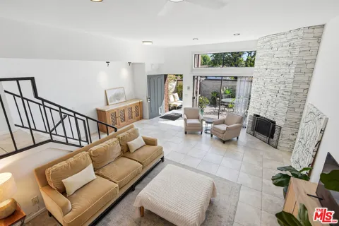
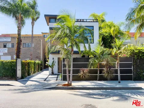
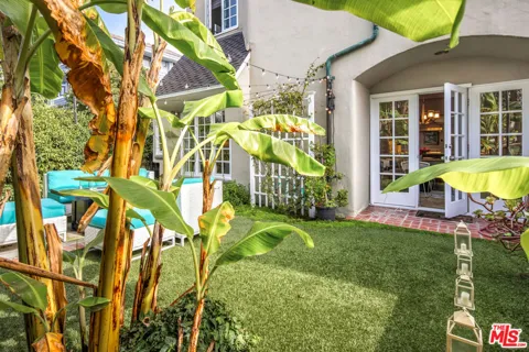
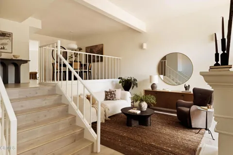
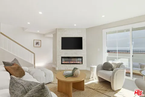
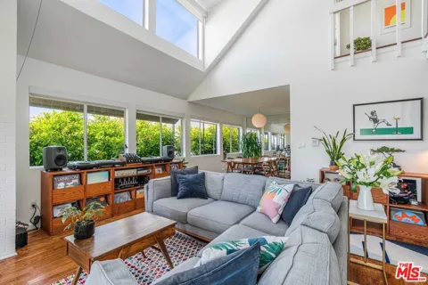
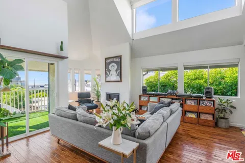
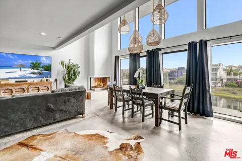
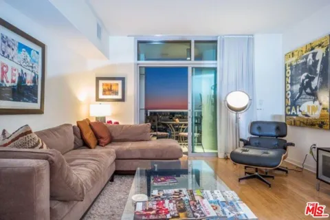
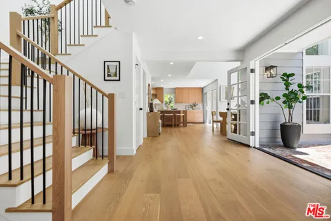
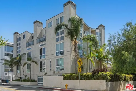
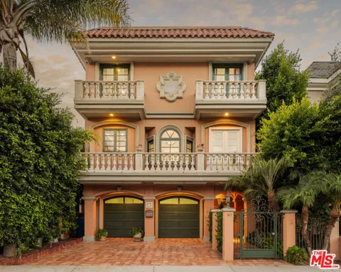
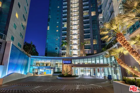
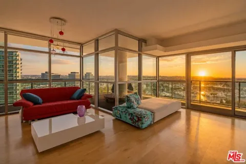
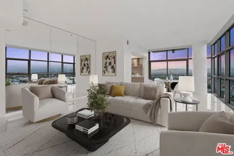
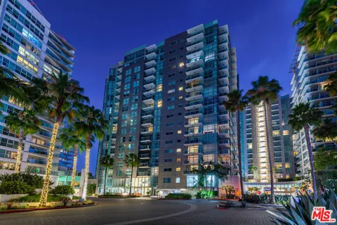
Marina del Rey's housing is oriented to waterfront and near-water living. The stock ranges from mid-rise and high-rise condominium towers along Admiralty Way and the harbor channels to older garden apartments and a smaller number of single-family homes in the Oxford Triangle. Beach-adjacent communities such as Silver Strand and the Marina Peninsula contain some of the area's most sought-after residences, mixing older beach bungalows with newer custom homes. Development is denser than in neighboring Venice and Playa del Rey, and many units are oriented to marina, channel, or ocean views rather than large private lots.
Silver Strand is a narrow beach community on the sand south of Venice. The Marina Peninsula forms the western edge along the ocean. The Oxford Triangle, east of the harbor, is a pocket of single-family homes and duplexes on quiet streets. Along Admiralty Way and the main channels, condo communities such as Mariners Village and Villas del Rey cluster around the water. Venice lies to the north and Playa del Rey to the south, with the Ballona Wetlands and Playa Vista inland to the east.
Marina del Rey life revolves around the harbor. Residents boat, kayak, and paddleboard from the marinas, dine along the water, and walk or bike the coastal path that connects to Venice and Santa Monica. Fisherman's Village and Burton Chace Park host concerts, a farmers market, and seasonal events. The community has a relaxed, resort-like feel, with easy access to Venice's Abbot Kinney corridor, Playa Vista, and Culver City for shopping and nightlife. It suits people who want waterfront living on the Westside without the density of downtown Santa Monica.
Marina del Rey is served by the Los Angeles Unified School District. Marina del Rey Middle School and its performing arts magnet sit within the community, and the Westside Global Awareness Magnet (K–8) is located near the Venice shoreline and Ballona Creek wetlands. Students generally feed into nearby LAUSD high schools such as Venice High School, with a range of private and charter options across the Westside.
Marina del Rey sits immediately north of Los Angeles International Airport and is served by the Marina Freeway (State Route 90) and Interstate 405. Metro bus routes, including Line 33 along Venice Boulevard toward Santa Monica and downtown, and Culver City bus lines serve the area, though the community has no rail station of its own; the Expo Line is reachable in nearby Santa Monica and Culver City. The beach bike path offers a car-free route along the coast.
The harbor is the recreational heart, with boat rentals, yacht charters, and kayak and stand-up paddleboard launches. Mother's Beach (Marina Beach) offers calm, protected water popular with families, and Burton Chace Park provides waterfront lawns and views. Fisherman's Village mixes shops, dining, and harbor excursions. The Marvin Braude Bike Trail runs along the beach toward Venice and Santa Monica, while the Ballona Wetlands offer birding and walking just inland.
MARKET SNAPSHOT
How homes have been selling here over the last 90 days.
Market data reflects closed sales over the last 90 days and is provided for informational purposes.
BROWSE BY ZIP
Browse listings by postal code in this area.