High Desert Aerospace Hub
Welcome to Mojave, a high-desert Kern County community at the edge of the Tehachapi Mountains, known for its railroad roots and the pioneering Mojave Air and Space Port.
Mojave is an unincorporated community in Kern County, California, set in the western Mojave Desert at the foot of the Tehachapi Mountains. It sits roughly 50 miles southeast of Bakersfield and 100 miles north of Los Angeles, at an elevation of about 2,760 feet below Oak Creek Pass. With a population of roughly 4,500, it is a compact desert town where residential streets meet one of the West's most storied transportation and aerospace corridors. The town began as a railroad settlement. The Southern Pacific Railroad founded Mojave when its tracks arrived on August 8, 1876, on the route from San Francisco to Los Angeles, laying out a street grid that remains largely intact. From 1884 to 1889, Mojave served as the western terminus for the famous twenty-mule-team borax wagons hauling freight from Death Valley's Harmony Borax Works, a defining chapter in the region's frontier history. Mojave's modern identity is tied to aerospace and energy. The Mojave Air and Space Port, which opened in 1935 as a rural airfield for the mining industry, has grown into a center for flight testing, spacecraft development, and aircraft maintenance and storage, and it was the first U.S. facility licensed for horizontal launches of reusable spacecraft. The Tehachapi Pass wind resource area, anchored by the Alta Wind Energy Center, spreads across the hills west of town with thousands of turbines. Mojave's character remains that of a working high-desert community. A suburban-rural mix of housing, a small commercial core, and easy access to State Routes 14 and 58 define daily life, with the Pacific Crest Trail passing nearby and the Tehachapi Mountains rising to the west. It appeals to those tied to the aerospace, rail, and energy industries, or seeking a quieter desert setting within reach of Bakersfield and Los Angeles.
Mojave is in Kern County, California, in the western Mojave Desert. It lies about 50 miles southeast of Bakersfield and 100 miles north of Los Angeles, at the foot of the Tehachapi Mountains.
Mojave is known for the Mojave Air and Space Port, a center for aerospace testing and reusable-spacecraft development, and for its railroad heritage. The town also sits near the Tehachapi Pass wind farms, among the largest wind-energy areas in the United States.
Mojave is served by the Mojave Unified School District, which operates six schools and enrolls roughly 2,800 students. The same district serves the neighboring high-desert community of California City just to the east.
Mojave is about 50 miles southeast of Bakersfield and roughly 100 miles north of Los Angeles in the western Mojave Desert. State Route 14 and State Route 58 meet near town and provide the main highway connections to both regions.
No. Mojave is an unincorporated community and census-designated place in Kern County rather than an incorporated city, which means services and land-use decisions are handled directly by Kern County government.
City Guide
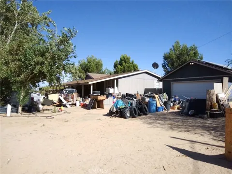
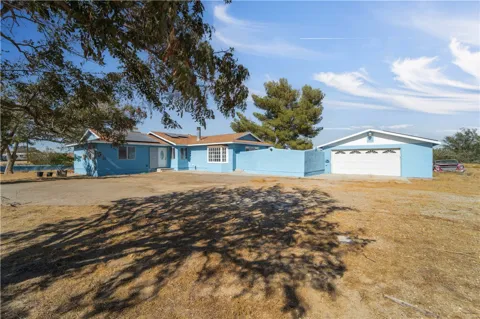
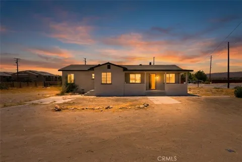
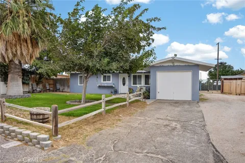
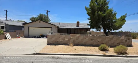
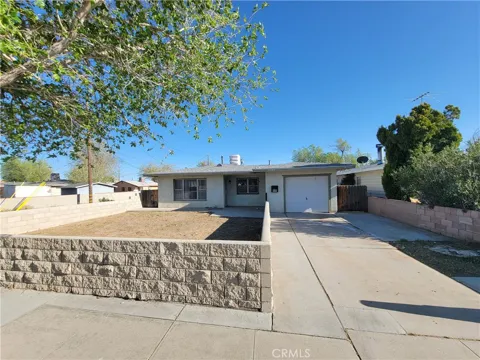
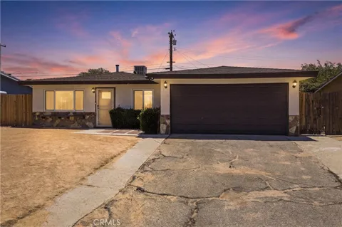
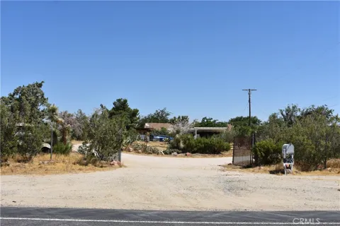
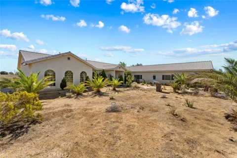
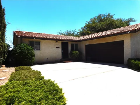
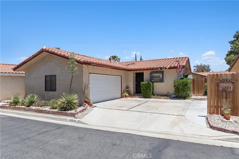
Mojave's housing stock is modest and desert-oriented, with a mix of older single-family homes and rental properties across a compact street grid laid out by the railroad in the 1870s. The community has a suburban-rural feel, and many residents rent rather than own. Housing clusters near the town center and along the highway corridors, with larger, more rural parcels available on the surrounding desert fringe for those seeking space and distance.
Mojave is small enough that it functions as one community rather than a set of sharply divided neighborhoods. The original railroad-era street grid forms the historic core, with residential blocks spreading outward toward State Routes 14 and 58. Areas such as the Sabovich-Roper neighborhood are noted locally for their quiet, well-kept character and convenient freeway access. The surrounding desert offers scattered acreage and a more rural setting just beyond the town.
Mojave has the feel of a working high-desert town rather than a resort or commuter suburb. Its identity is shaped by the rail corridor, the air and space port, and the wind-energy and aerospace industries that employ many residents. Life is quiet and unpretentious, with a small commercial core, local schools, and wide desert skies. Residents value the open space and lower-density setting, while accepting the trade-offs of a remote location far from the amenities of larger Kern County cities.
Mojave's public schools are part of the Mojave Unified School District, which operates six schools and enrolls roughly 2,800 students, serving both Mojave and the neighboring community of California City. The district provides kindergarten through twelfth grade across a sparsely populated corner of eastern Kern County. Given the area's remote location, the district also plays a central role in community life, with families often traveling between Mojave and California City for school activities.
Mojave sits at a strategic desert crossroads. State Route 14 and State Route 58 meet near town, carrying traffic between the Antelope Valley, Bakersfield, and points north, while the Union Pacific railroad still runs through the community that the Southern Pacific built. Bakersfield is about 50 miles northwest and Los Angeles roughly 100 miles south, making the town a waypoint on one of the region's key freight and travel corridors. The Mojave Air and Space Port adds a significant aviation dimension to local transportation.
The high desert is Mojave's playground. The Pacific Crest Trail passes near the community, and the Tehachapi Mountains to the west offer hiking, climbing, and sweeping views over the valley, with the region's vast wind farms visible from State Route 58. The desert itself invites off-road exploration, stargazing, and seasonal wildflower viewing. Aviation enthusiasts are drawn to the air and space port and its long history of flight testing, adding an unusual recreational and cultural draw to the area.
MARKET SNAPSHOT
How homes have been selling here over the last 90 days.
Market data reflects closed sales over the last 90 days and is provided for informational purposes.
BROWSE BY ZIP
Browse listings by postal code in this area.