
South Bay's Second-Oldest City
Listings in National City, CA
Welcome to National City, the second-oldest city in San Diego County, set about five miles south of downtown San Diego along the San Diego Bay shoreline.
National City occupies a compact stretch of the South Bay in southwestern San Diego County, hugging San Diego Bay about five miles south of downtown San Diego. It is one of the older and more historically layered corners of the region. The land was part of Rancho de la Nacion, the 26,000-acre Mexican-era land grant that brothers Frank and Warren Kimball purchased in 1868. The Kimballs laid out the town, brought the railroad, and incorporated the city on September 17, 1887 — making National City the second-oldest city in San Diego County, behind only San Diego itself. That railroad-and-harbor origin shaped the city's early identity as an industrial and port gateway. Today the economy still leans toward transportation, port, and service industries: the Mile of Cars auto dealership corridor along National City Boulevard has anchored local commerce since the 1950s, and the South Bay's maritime and industrial employers remain a short drive away. The city also sits near major Navy and defense facilities, a connection that has drawn generations of military families. National City is among the most densely populated and culturally diverse cities in San Diego County. Its neighborhoods range from the Victorian and Craftsman-era streets around Heritage Square and Brick Row to mid-century residential blocks and newer subdivisions on the eastern edge. A long-running bayfront effort has expanded public access to San Diego Bay, adding shoreline parks and recreation where the city meets the water. Interstates 5 and 805 and the MTS Trolley Blue Line run north-south through the city, putting downtown San Diego, the port, and the U.S.-Mexico border within a short, direct commute. Who National City suits: it appeals to buyers and renters who value affordability within San Diego County, proximity to downtown and the border, and a community with a strong sense of place and history, rather than new master-planned uniformity.
Get more information about National City
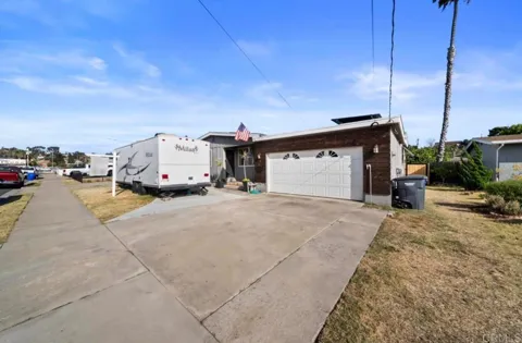
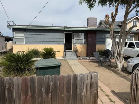
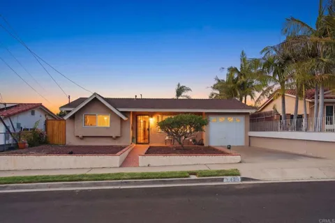
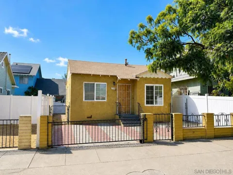
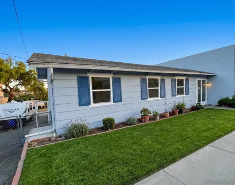
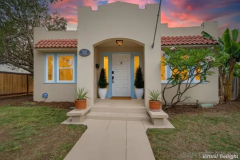
Houses in National City, CA
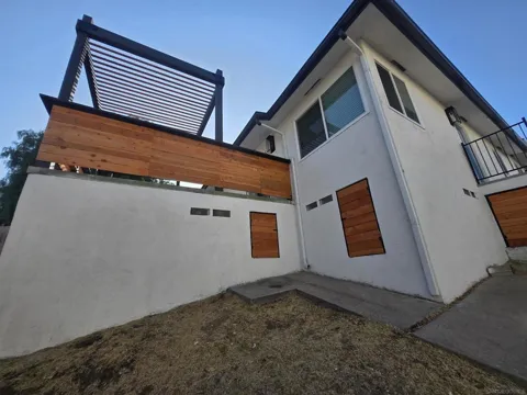
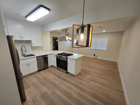
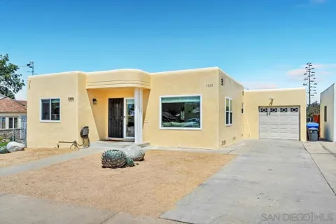
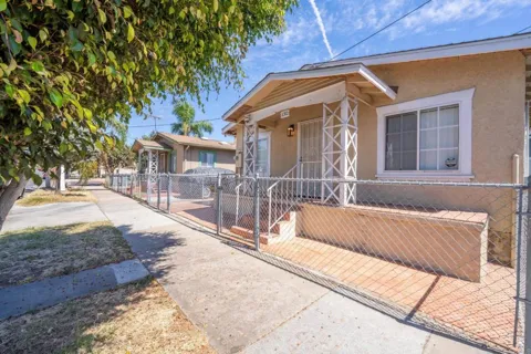
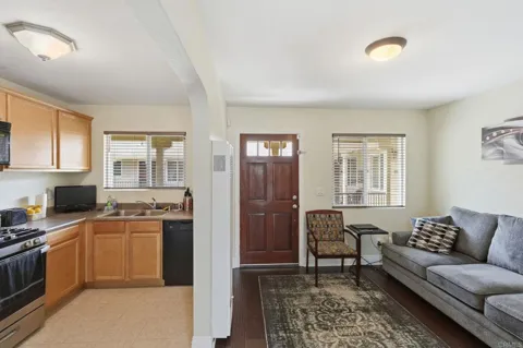
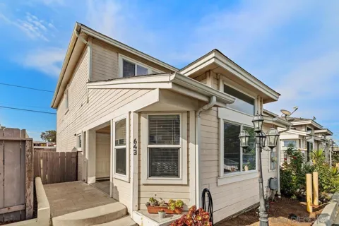
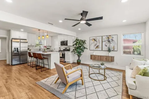

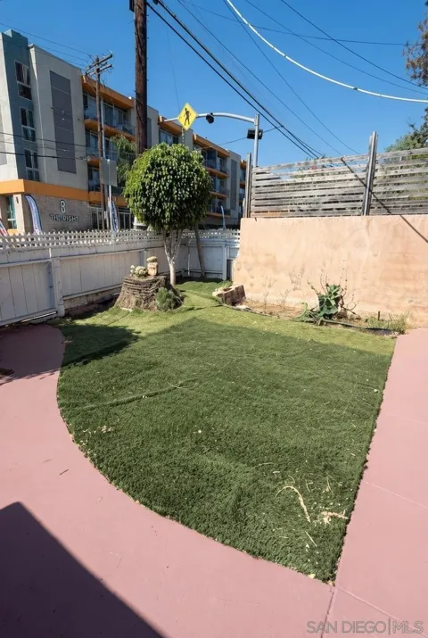
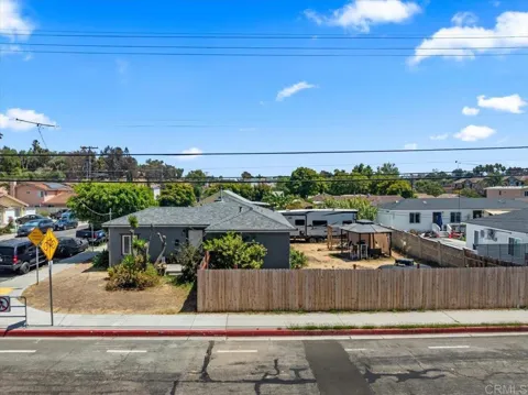
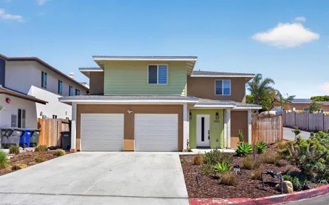
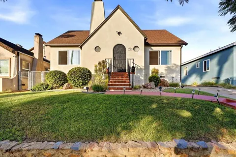
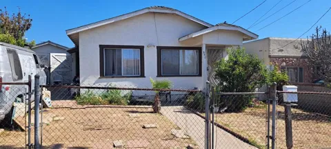
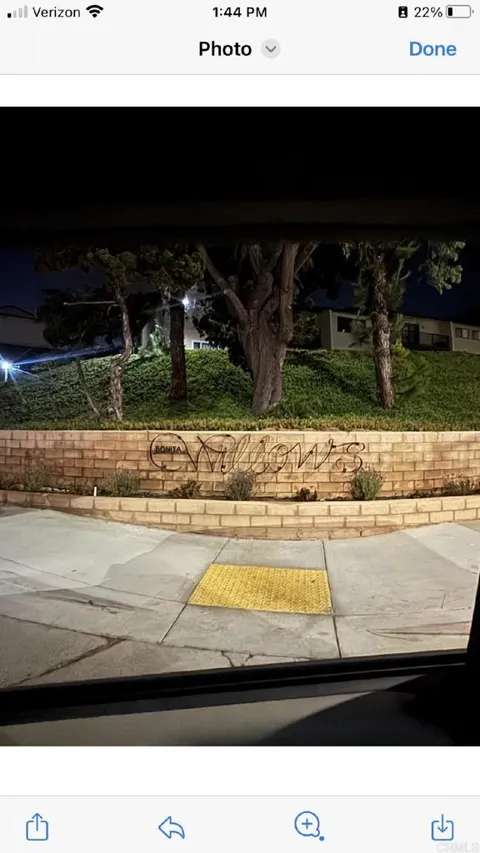
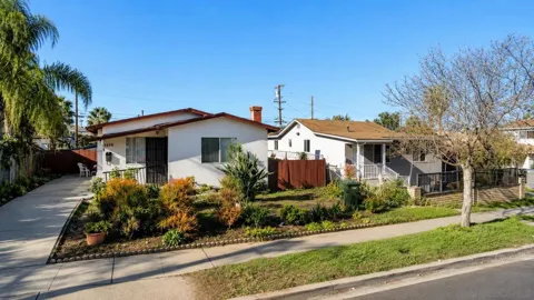
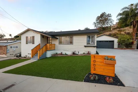
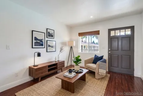
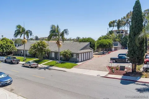
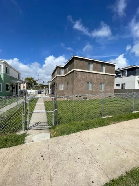
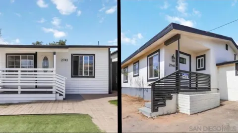
Townhouses & Duplexes in National City, CA
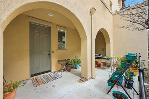
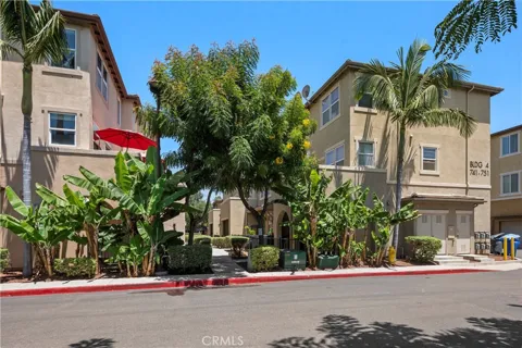
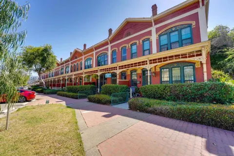
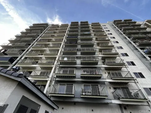
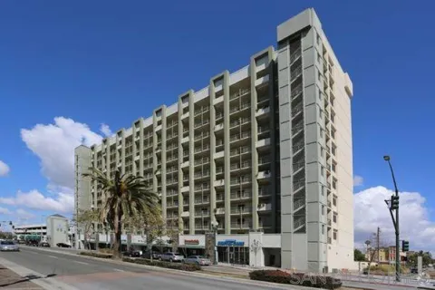
Condos & Apartments in National City, CA
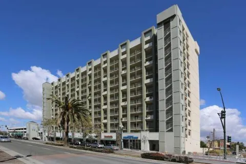
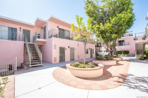
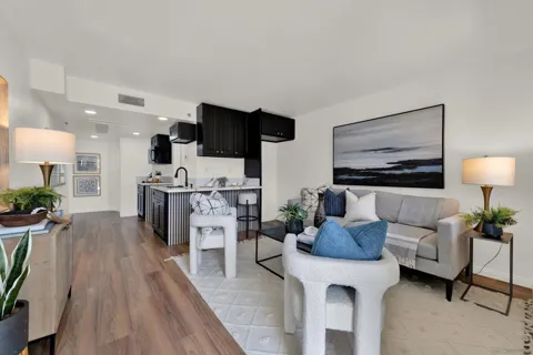
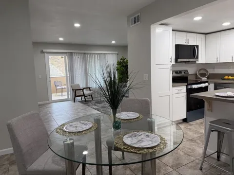
For Rent in National City, CA
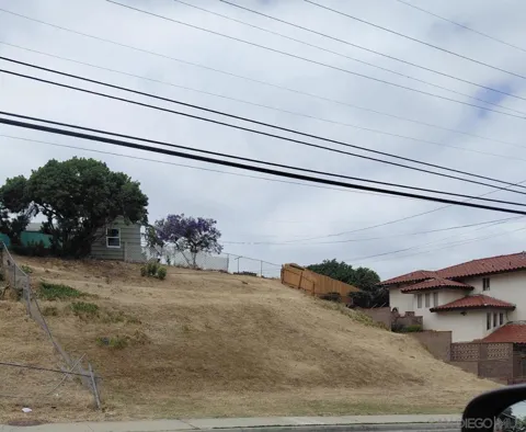
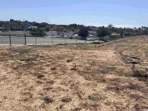
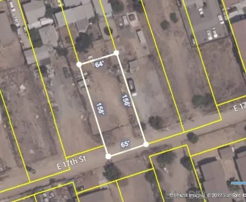
Lots & Land in National City, CA
MARKET SNAPSHOT
The Market at a Glance
How homes have been selling here over the last 90 days.
Price & Sales History
Market data reflects closed sales over the last 90 days and is provided for informational purposes.
Zip Codes
BROWSE BY ZIP
Browse listings by postal code in this area.
- Grid
- Map
- List
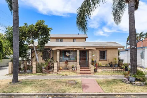
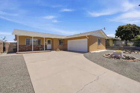
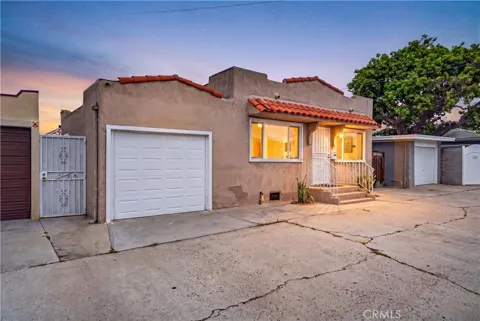
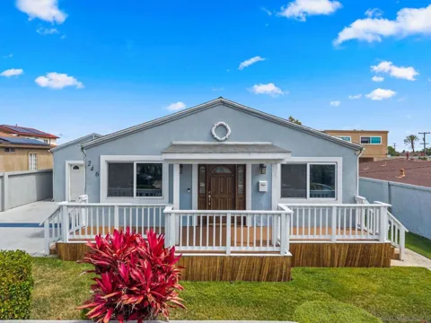
City Guide
About National City
Real Estate & Housing
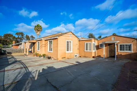
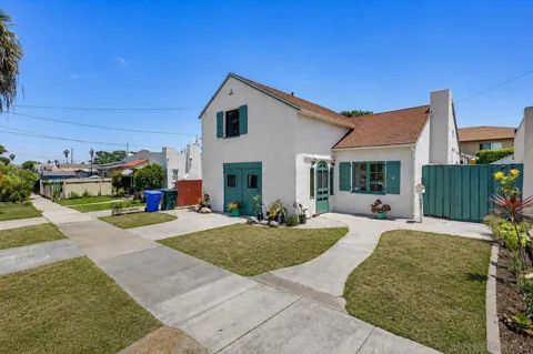
National City's housing stock is a genuine mix of eras. The city's late-1800s origins survive in its Victorian homes, several of which are preserved around Heritage Square, including Brick Row, the 1887 row houses Frank Kimball built for Santa Fe Railroad executives. Mid-century homes make up much of the broader residential fabric, reflecting the city's postwar expansion, and there are pockets of newer construction, particularly on the eastern side of town. Lots are generally smaller and the streetscape more urban than in San Diego's outer suburbs, a reflection of the city's density and its long history as an established, walkable South Bay community.
Neighborhoods
National City's neighborhoods reflect its layered history. The historic core near downtown and Heritage Square holds the city's oldest streets and landmarks, including Brick Row and the Frank Kimball House. Residential areas such as Las Palmas and the streets around El Toyon Park are established, mid-century neighborhoods with an active community and neighborhood-council presence. The South Port business and industrial district along the Interstate 5 corridor concentrates commerce, while the bayfront has emerged as a focal point for new recreation and public space. Farther east, newer subdivisions spread toward the city's boundary.
Lifestyle in National City
National City's lifestyle is distinctly urban-suburban, shaped by its density, its diversity, and its position between downtown San Diego and the border. The city has a strong multicultural character, with a food scene spanning Mexican and Filipino influences alongside classic South Bay diners and the auto-row stretch of the Mile of Cars. Community life revolves around neighborhood parks, schools, and recurring local events, while downtown San Diego's arts, dining, and Gaslamp Quarter are a short trolley ride away. The redeveloped bayfront has added a splash pad, playground, and shoreline gathering space at Pepper Park, giving residents direct access to San Diego Bay.
Schools & Education
Public education in National City is split between two long-established districts. The National School District, founded in 1871 and the second-oldest district in San Diego County, serves preschool through sixth grade across ten elementary schools. Secondary students attend the Sweetwater Union High School District, with Sweetwater High School — established in 1920 and among the oldest high schools in the county — serving much of the city. The local landscape also includes charter and private options, giving families a range of choices within a short distance.
Getting Around
National City is threaded through by major regional corridors. Interstates 5 and 805 run north-south through the city, connecting residents to downtown San Diego, the airport, and the U.S.-Mexico border at San Ysidro. The San Diego Trolley's Blue Line serves National City on its route between the border and points north, and MTS bus routes provide local connections. The city's compact, gridded layout also keeps many neighborhoods walkable and bikeable. San Diego's port and maritime industrial areas are immediately adjacent, reinforcing the city's long-standing role as a South Bay transportation hub.
Parks & Recreation
Recreation in National City centers on its bayfront and neighborhood parks. Pepper Park, a 5.5-acre shoreline park along the Sweetwater Channel, offers San Diego Bay access, a splash pad, playgrounds, and picnic areas, and has been the centerpiece of the city's bayfront revitalization. Neighborhood parks such as El Toyon and Las Palmas provide playgrounds, sports fields, and gathering space across residential areas. The city's proximity to San Diego Bay and downtown San Diego also puts harbor activities, beaches, and regional attractions within an easy drive or trolley ride.
About National City
Frequently asked questions
What county is National City in?
National City is in San Diego County, California, in the South Bay region about five miles south of downtown San Diego. The city sits along San Diego Bay and is bordered by Interstate 5 and Interstate 805.
How old is National City?
National City was incorporated on September 17, 1887, making it the second-oldest city in San Diego County. Only the city of San Diego, incorporated in 1850, is older. The community grew from Rancho de la Nacion, purchased by brothers Frank and Warren Kimball in 1868.
What school districts serve National City?
Elementary students attend the National School District, which serves preschool through sixth grade across ten elementary schools and was founded in 1871. Secondary students are served by the Sweetwater Union High School District, with Sweetwater High School, established in 1920, serving much of the city.
Does National City have public transit?
Yes. The San Diego Trolley's Blue Line runs through National City between the U.S.-Mexico border and points north, and MTS bus routes provide local service. Interstates 5 and 805 also connect the city to downtown San Diego, the airport, and the border.
What is National City known for?
National City is known for its history as San Diego County's second-oldest city, its preserved Victorian homes and the 1887 Brick Row landmark, the Mile of Cars auto dealership corridor, and its diverse, multicultural South Bay character.
Still have questions about National City?
Get in touchExplore the area
