Pacific Coast Beach Town
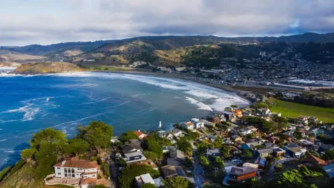
Welcome to Pacifica, a coastal San Mateo County city between San Francisco and Half Moon Bay, framed by bluffs, fog, and Pacific surf.
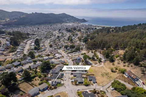
Pacifica sits on the Pacific coast in northern San Mateo County, California, occupying a stretch of shoreline between San Francisco and Half Moon Bay. The city is defined by its geography: a series of broad valleys and ridgelines that run down to the ocean, where coastal fog rolls over the bluffs. Incorporated from a collection of small coastal communities, Pacifica retains a laid-back, outdoors-oriented character that sets it apart from the denser suburbs immediately to the north. The city grew up around several distinct settlements rather than a single downtown. Sharp Park, Fairway Park, and Vallemar developed along the coast and the rolling hills east of Highway 1, while Pedro Point and Linda Mar fill the valleys to the south. This patchwork gives Pacifica a varied streetscape of mid-century ranchers, hillside custom homes, and beach-adjacent houses, much of it shaped by steep terrain and coastal zoning that has limited large-scale development. Residents are drawn by the combination of ocean access and relative proximity to San Francisco. Surfing, hiking, and beachgoing are woven into daily life, with Pacifica State Beach (also called Linda Mar Beach) regarded as one of the most reliable beginner-friendly surf breaks in the region. Commuters reach San Francisco and the Peninsula by way of Highway 1, I-280, and the nearby Daly City BART station, making Pacifica a coastal outpost within reach of Bay Area employment centers. Culturally, Pacifica skews casual. Rockaway Beach functions as the city's closest thing to a walkable commercial district, with ocean-view restaurants and lodging clustered along the shore. The city also hosts one of the region's signature offbeat traditions, the annual Fog Fest, which celebrates the very fog that defines the local climate. In short, Pacifica suits people who want the ocean and the trails in their backyard while keeping a practical commute into the Bay Area.
Pacifica is located in San Mateo County, California, on the Pacific coast. It sits between San Francisco to the north and Half Moon Bay to the south, and forms part of the San Francisco Bay Area's Peninsula region.
Pacifica is roughly 15 miles south of downtown San Francisco. Drivers typically use Highway 1 or I-280, while transit riders can take SamTrans bus service to the Daly City BART station for rail connections into the city.
Elementary and middle school students attend the Pacifica School District, while high school students are served by the Jefferson Union High School District. Jefferson Union, established in 1922, also serves Daly City, Brisbane, Colma, Broadmoor, and part of San Bruno.
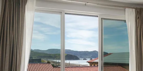
Pacifica's coastline includes Pacifica State Beach, also called Linda Mar Beach, a well-known surf break, along with Rockaway Beach and Sharp Park Beach. Bluff-top trails at Mori Point and Milagra Ridge overlook the shoreline and offer sweeping ocean views.
Pacifica does not have its own BART station, but SamTrans bus service, including Route 110, connects the city's neighborhoods to the Daly City BART station. From there, rail service continues into San Francisco and the wider Bay Area.
City Guide
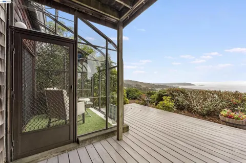
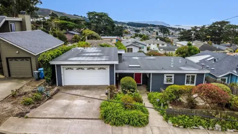
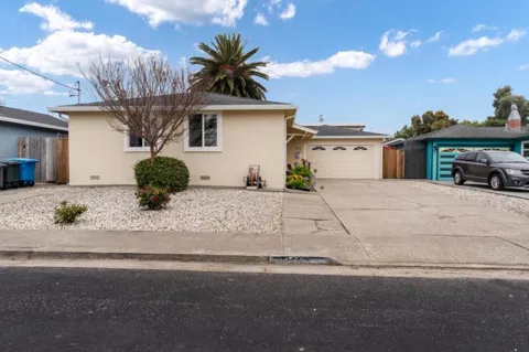
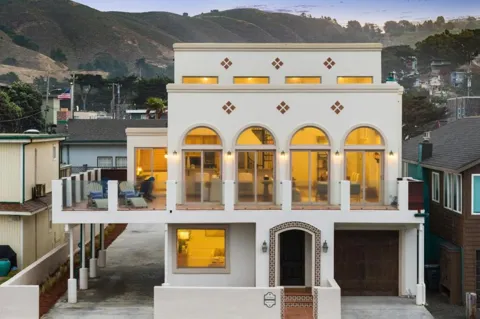
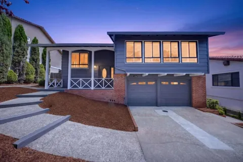
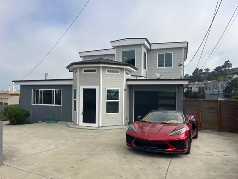
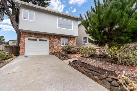
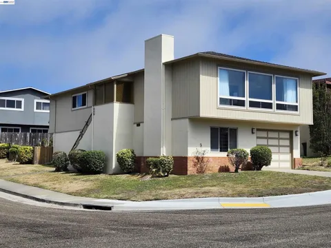
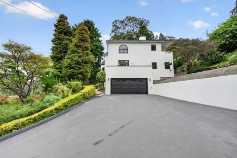
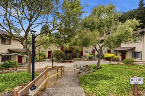
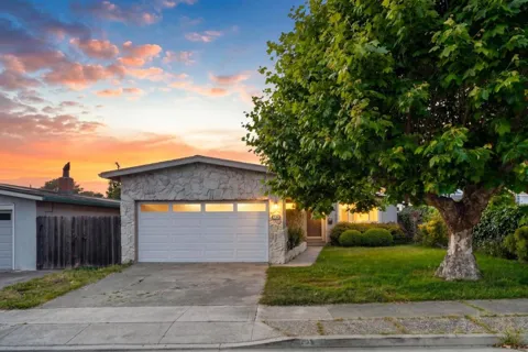
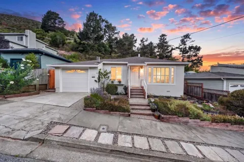
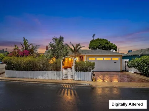
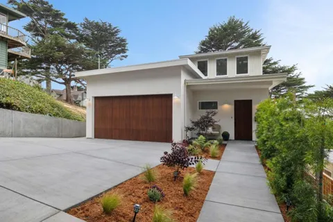
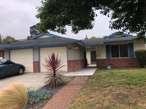
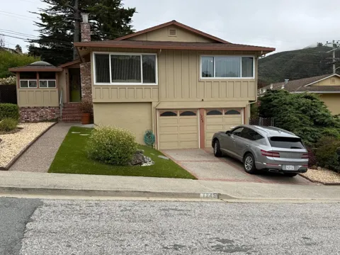
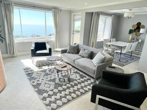
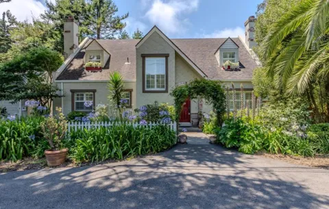
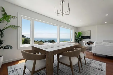
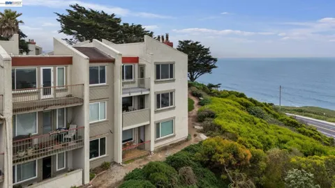
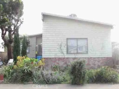
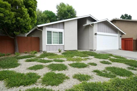
Pacifica's housing stock reflects its hillside-and-coast geography more than any single architectural era. Linda Mar and the valley neighborhoods hold large numbers of mid-century single-family ranchers on modest lots, while Pedro Point and the upper reaches of Vallemar feature custom and contemporary hillside homes with ocean views. Building is constrained by steep slopes, coastal erosion considerations, and local zoning that limits heights and setbacks, so inventory skews toward existing homes rather than new subdivisions. Coastal exposure and the fog belt mean many properties contend with salt air and moisture. The result is a market of established, often individually built homes rather than large master-planned tracts.
Pacifica is really a string of neighborhoods rather than one town center. Sharp Park, Fairway Park, and Vallemar run along the northern and central coast, mixing older beach cottages with hillside homes near the Sharp Park Golf Course. Rockaway Beach clusters around a small commercial district and oceanfront lodging. To the south, Pedro Point climbs the slopes of San Pedro Mountain with many custom homes, while Linda Mar occupies the former San Pedro Valley, a flatter area of ranchers near Linda Mar Beach, shopping, and San Pedro Valley Park. Shelter Cove and the Linda Mar Valley complete the southern end of the city.
Life in Pacifica revolves around the outdoors and the ocean. Surfing is a core part of local identity, with Pacifica State Beach among the most popular beginner breaks in Northern California. The summer fog gives the city a cool, moody atmosphere that locals embrace—so much so that the community celebrates the Pacific Coast Fog Fest each fall. Dining concentrates along the Rockaway Beach waterfront and in the Linda Mar and Pedro Point shopping areas, leaning toward casual, ocean-view seafood and cafés. The overall tone is unhurried and coastal rather than polished.
Students in Pacifica attend the Pacifica School District for elementary and middle grades and the Jefferson Union High School District for secondary education. Jefferson Union, established in 1922, serves Pacifica along with Daly City, Brisbane, Colma, Broadmoor, and part of San Bruno, and operates several comprehensive high schools plus an adult education campus. The district's presence makes Pacifica part of a larger northern San Mateo County public-school network, with additional private and parochial options in the surrounding area.
Pacifica is oriented around Highway 1 (Cabrillo Highway), which runs the length of the city along the coast and connects south to Half Moon Bay and north toward San Francisco and Daly City. I-280 is a short drive east, providing access to San Francisco and the Peninsula. Public transit is provided by SamTrans bus service, including Route 110, which links Linda Mar and other neighborhoods to the Daly City BART station for rail connections into San Francisco and the wider Bay Area. Because the city has no BART station of its own, many commuters drive to the Daly City or Colma stations.
Pacifica's open space is one of its strongest draws. The Golden Gate National Recreation Area includes Mori Point and Milagra Ridge, where bluff-top trails overlook the Pacific and serve as whale-watching vantage points. Sweeney Ridge offers sweeping views and connects to a network of regional trails, while San Pedro Valley Park protects wooded canyons in the hills south of Linda Mar. The Devil's Slide Trail follows a former stretch of Highway 1 along the coastal cliffs. Pacifica State Beach and Rockaway Beach anchor the shoreline for surfing, walking, and beachcombing.
MARKET SNAPSHOT
How homes have been selling here over the last 90 days.
Market data reflects closed sales over the last 90 days and is provided for informational purposes.
BROWSE BY ZIP
Browse listings by postal code in this area.