
California's Capital on the Rivers
Listings in Sacramento, CA
Welcome to Sacramento, California's capital city, set at the confluence of the Sacramento and American rivers in the heart of the Central Valley.
Sacramento, the capital of California, sits in the Sacramento Valley at the meeting point of the Sacramento and American rivers. Founded in 1848 and incorporated in 1849 at the height of the California Gold Rush, it became the permanent seat of state government in 1854, and the role has shaped the city ever since. The domed State Capitol, completed in 1874, anchors a downtown now filled with government offices, law firms, and a growing base of professional employers. Beyond government, Sacramento's economy draws on health care systems, education, and the rich agricultural land that surrounds it. Its location at the northern end of the Central Valley, one of the most productive farming regions in the world, gives the city a genuine farm-to-table identity. Sacramento markets itself as America's Farm-to-Fork Capital, a title reflected in its farmers markets, restaurant scene, and an annual Farm-to-Fork Festival each fall. Sacramento is also a notably residential, tree-shaded city. Its older central neighborhoods grew up around a street grid with mature canopy, and the city's housing ranges from ornate Victorian and Craftsman homes near downtown to mid-century ranches and newer master-planned subdivisions on the expanding suburban edges in Natomas and the south. The climate is hot and dry in summer with mild, often foggy winters, and the rivers provide both a scenic setting and a backbone for recreation. With light rail, a central rail and interstate corridor, and an international airport, Sacramento functions as both a self-contained capital city and a gateway to the Sierra Nevada, the Delta, and the San Francisco Bay Area.
Get more information about Sacramento
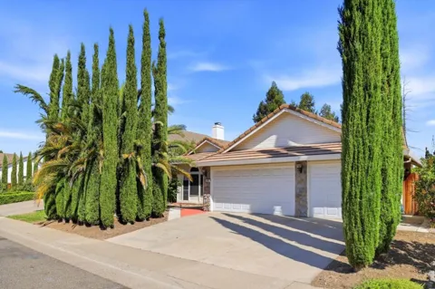
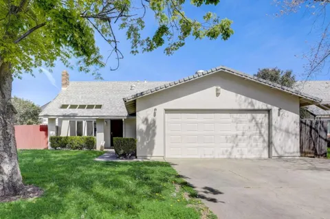
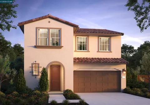
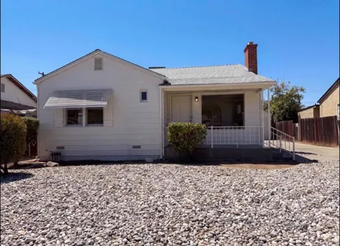
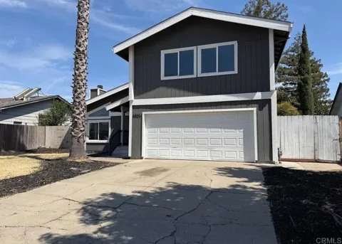
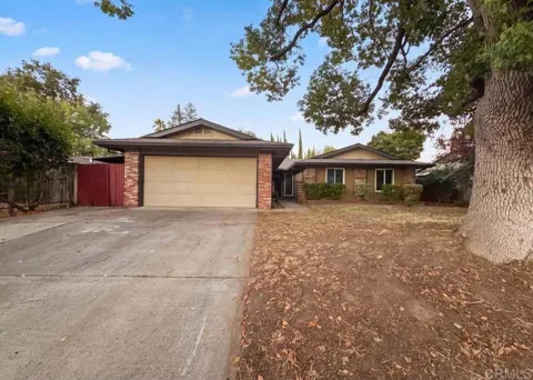
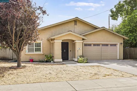
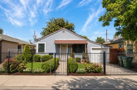
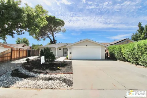
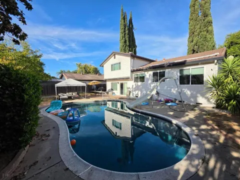
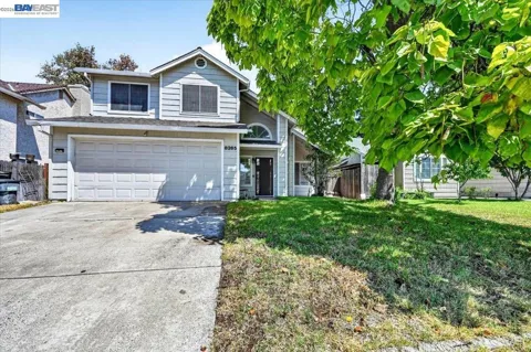
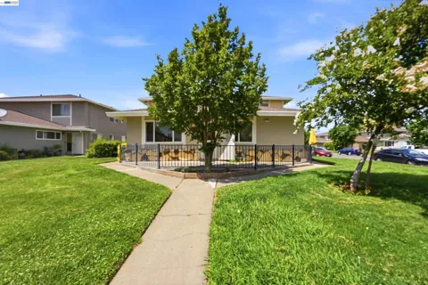
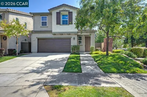
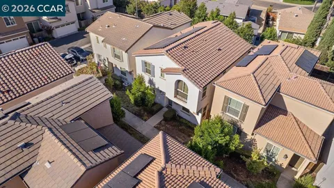
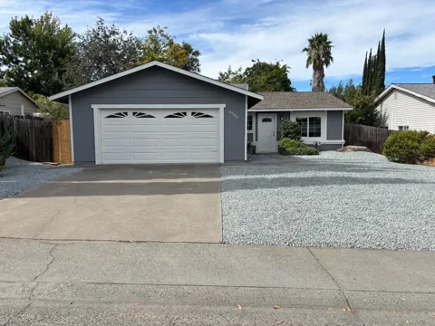
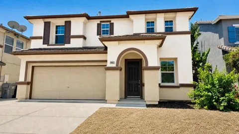
Houses in Sacramento, CA




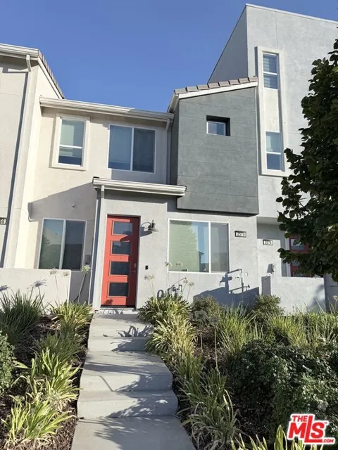
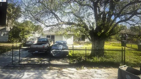

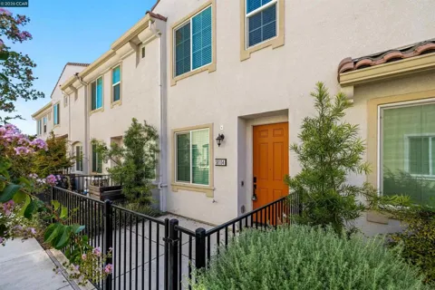
Townhouses & Duplexes in Sacramento, CA
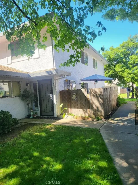
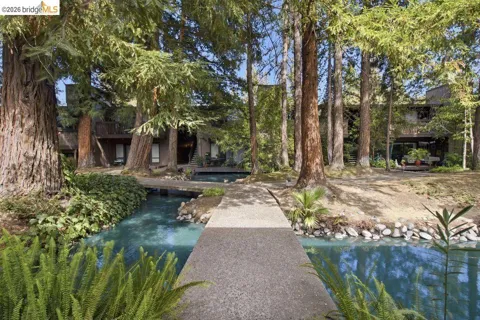
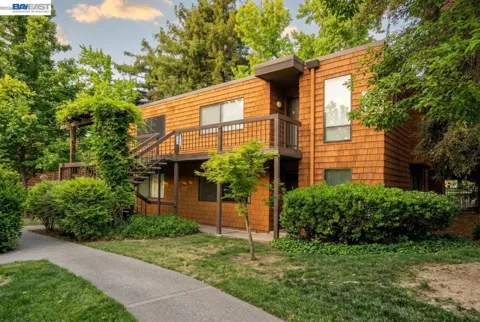
Condos & Apartments in Sacramento, CA
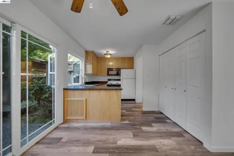
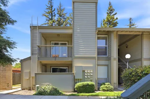
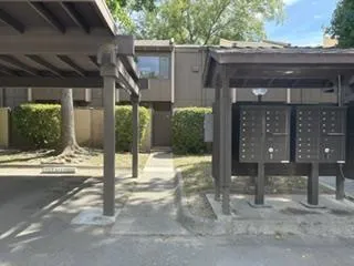
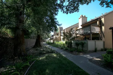
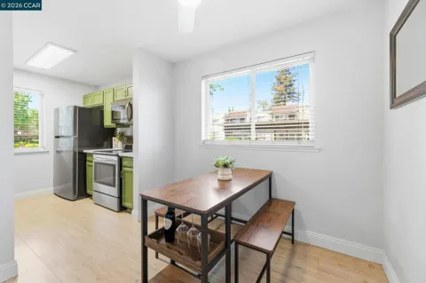
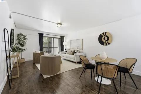
For Rent in Sacramento, CA
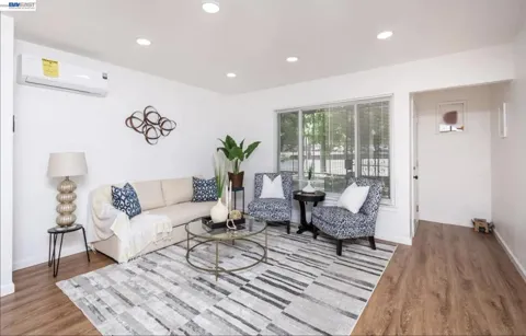
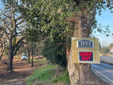
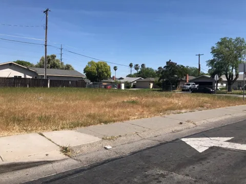
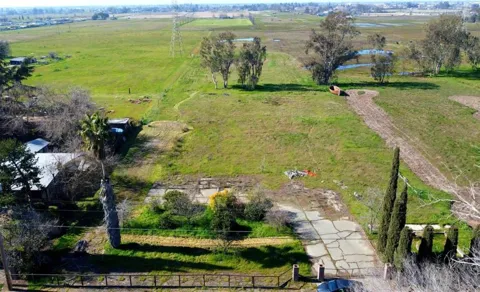
Lots & Land in Sacramento, CA
MARKET SNAPSHOT
The Market at a Glance
How homes have been selling here over the last 90 days.
Price & Sales History
Market data reflects closed sales over the last 90 days and is provided for informational purposes.
Zip Codes
BROWSE BY ZIP
Browse listings by postal code in this area.
- Grid
- Map
- List


City Guide
About Sacramento
Real Estate & Housing
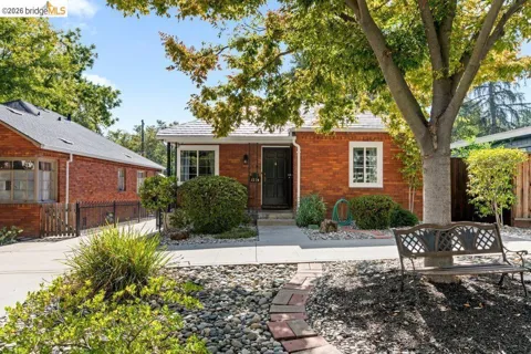
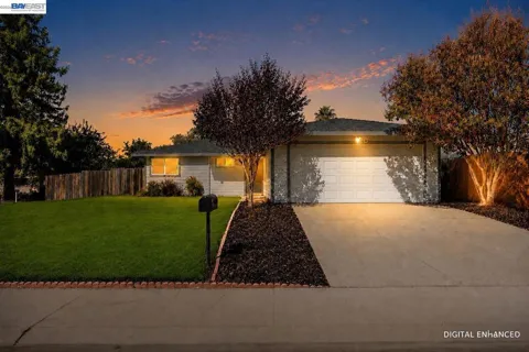
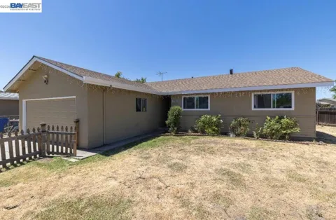
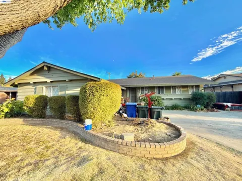
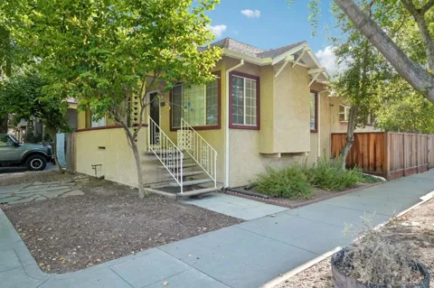
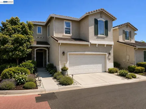
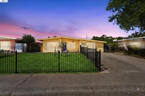
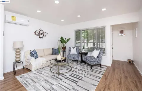
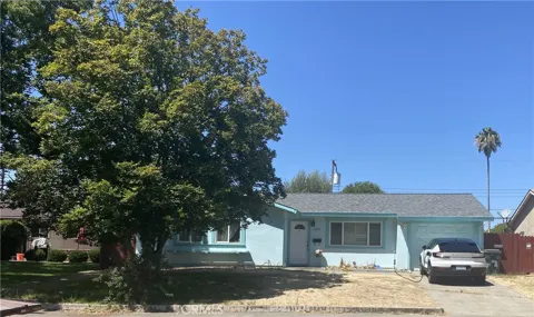
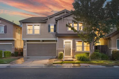
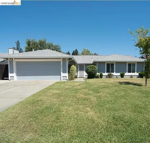
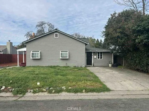
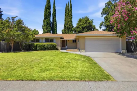
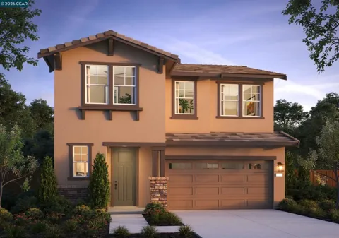
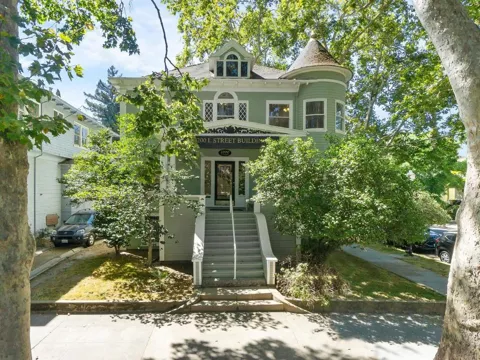
Sacramento's housing stock is defined by its history and its periods of growth. The central neighborhoods developed in the late 19th and early 20th centuries and still hold a strong collection of Victorian, Craftsman, Tudor, English Cottage, and early 20th-century revival homes, often on streets with generous, mature trees. Curtis Park, a city-designated historic district, is known for its cohesive mix of Craftsman and Tudor architecture and consistent setbacks. East Sacramento's "Fabulous Forties" features Tudor and bungalow homes on wide, tree-lined blocks. Mid-century ranches and post-war subdivisions fill the middle ring, while newer areas such as Natomas and the south end offer more recent single-family and attached construction. Lot sizes vary widely, from compact central-city parcels to larger suburban yards, giving buyers a broad range of housing character within a single market area.
Neighborhoods
Sacramento's neighborhoods range from dense and walkable to quietly suburban. Midtown, just east of downtown, is known for its grid of historic homes, tree-lined streets, restaurants, coffee shops, and nightlife. East Sacramento, or "East Sac," is an established, upscale area along the American River, notable for its Tudor and bungalow homes and the Fabulous Forties streets. Land Park centers on William Land Park and consists mainly of single-family homes between Interstate 5 and Freeport Boulevard. Curtis Park offers a quiet residential feel with Craftsman and early-20th-century homes close to downtown. Natomas, north of the American River, is a newer suburban district with master-planned communities. To the south, the Pocket and Greenhaven areas hug the Sacramento River, while Oak Park, one of the city's older districts, mixes historic character with revitalization and diverse dining.
Lifestyle in Sacramento
Sacramento's food culture is its clearest lifestyle signature. Billed as America's Farm-to-Fork Capital, the city leans on its Central Valley agriculture, with farmers markets, seasonal menus, and an annual Farm-to-Fork Festival that draws farmers, chefs, and vintners each September. The Midtown Farmers Market is a neighborhood institution, and the area supports a busy scene of craft breweries, coffee roasters, and independent restaurants. Downtown's Golden 1 Center hosts the NBA's Sacramento Kings and major concerts, while cultural venues such as the Crocker Art Museum, one of the oldest art museums in the West, anchor the arts. Sacramento also maintains a strong river culture, with boating, walking, and cycling woven into daily life, and easy access to both the Sierra Nevada foothills and the Bay Area shapes how residents spend weekends.
Schools & Education
Public schools in Sacramento are served by several districts whose boundaries cross the metro area. Sacramento City Unified covers much of the central city, while Natomas Unified serves the Natomas area north of downtown. San Juan Unified serves portions of the northeastern metro, Twin Rivers Unified covers the north, and Elk Grove Unified, the largest district in Northern California with roughly 63,500 students, serves the southern suburbs. Folsom Cordova Unified covers parts of the east. The area also has a substantial network of private and parochial schools. Higher education includes California State University, Sacramento (Sac State), one of the CSU system's larger campuses, and the University of California, Davis lies just west of the city, anchoring a regional research and health-care economy that includes UC Davis Health's medical center.
Getting Around
Sacramento sits at a major transportation crossroads where Interstates 5 and 80 and U.S. 50 converge, with the Capital City Freeway forming a downtown loop. The Sacramento Regional Transit District (SacRT) operates a light-rail system of three lines spanning about 42.9 miles with 53 stations, plus an extensive bus network, linking downtown with suburbs and the airport corridor. Amtrak's Capitol Corridor and long-distance trains serve the historic downtown station, connecting Sacramento to the Bay Area and points east. Sacramento International Airport (SMF), northwest of the city, offers domestic and international flights and is reachable by highway and transit. The flat terrain and grid also make Sacramento among the more bikeable of California's larger cities, with the American River Parkway trail forming a regional cycling spine.
Parks & Recreation
The American River Parkway is Sacramento's defining outdoor asset: a 32-mile regional recreation corridor along the American River that preserves roughly 5,000 acres of open space and wildlife habitat, with parks, boat launches, and the paved Jedediah Smith Memorial Trail running its length. William Land Park, in the Land Park neighborhood, combines green space with the Sacramento Zoo and Fairytale Town, while McKinley Park and Sutter's Fort State Historic Park add to the central-city park system. The Sacramento and American rivers support kayaking, rowing, and fishing, and the nearby Sacramento–San Joaquin Delta opens into a broad waterway for boating. Within a short drive, residents reach Folsom Lake, the Sierra foothills for hiking and skiing, and the Napa and Sonoma wine country to the west.
About Sacramento
Frequently asked questions
What county is Sacramento in?
Sacramento is the seat of Sacramento County, California. The city and county share the same name, with the city serving as the county seat and the location of the State Capitol and state government offices.
What is Sacramento known for?
Sacramento is known as California's capital city and as America's Farm-to-Fork Capital, reflecting its location amid productive Central Valley farmland. It is also known for its Gold Rush origins, its role as a state-government center, and outdoor amenities such as the 32-mile American River Parkway and the Jedediah Smith Memorial Trail.
What school districts serve Sacramento?
Several districts serve the Sacramento area, including Sacramento City Unified, Natomas Unified, San Juan Unified, Twin Rivers Unified, Elk Grove Unified, and Folsom Cordova Unified. Elk Grove Unified is the largest district in Northern California, with roughly 63,500 students.
What is the American River Parkway?
The American River Parkway is a 32-mile regional recreation area that follows the American River through Sacramento County, preserving about 5,000 acres of open space. It includes parks, boat launches, and the paved Jedediah Smith Memorial Trail, a popular corridor for cycling, running, and walking.
How do people get around Sacramento?
Sacramento is served by Interstates 5 and 80 and U.S. 50, plus the SacRT light-rail system of three lines and 53 stations and an extensive bus network. Amtrak trains serve downtown, and Sacramento International Airport (SMF) provides regional and international flights.
Still have questions about Sacramento?
Get in touchExplore the area
