San Bernardino Mountains Community
Welcome to Cedarpines Park, a quiet unincorporated mountain community in the San Bernardino National Forest, just west of Crestline.
Cedarpines Park is an unincorporated mountain community in San Bernardino County, California, located in the San Bernardino Mountains just west of Crestline and off Devils Canyon Road. Situated at an elevation of about 4,734 feet, the community lies within the San Bernardino National Forest, surrounded by mixed conifer forests, seasonal streams, and mountain terrain that brings snowy winters and four distinct seasons. The community is small and low-density, with a population of roughly 770 residents. It functions as a quiet residential retreat rather than a commercial center, with homes and cabins spread along its winding roads amid pines and cedars. For day-to-day services, residents rely on nearby Crestline, which offers shops, restaurants, and Lake Gregory Regional Park, while Lake Arrowhead and its village sit a short drive to the east. Cedarpines Park is served by the Rim of the World Unified School District, the public school system of the western San Bernardino Mountains, headquartered in Blue Jay and serving communities including Crestline, Lake Arrowhead, and Running Springs. The community itself has a playground and community center maintained through San Bernardino County's County Service Area 18, providing a local gathering place for residents and events. Recreation is one of the community's main draws. The surrounding national forest offers hiking, off-road trails, and mountain scenery, while Lake Gregory Regional Park in Crestline provides year-round fishing, a walking trail, and seasonal swimming and boating. The area's elevation and forest setting make it a popular destination for those seeking mountain living within reach of the San Bernardino Valley, which lies below and supplies the region's larger employment, shopping, and medical services.
Cedarpines Park is an unincorporated community in the San Bernardino Mountains of San Bernardino County, California. It sits within the San Bernardino National Forest at an elevation of about 4,734 feet, just west of Crestline and off Devils Canyon Road.
Cedarpines Park has a population of about 770 residents. It is a low-density mountain community with a quiet, forested character, served by small-town amenities in nearby Crestline and larger services in the San Bernardino Valley below.
Cedarpines Park is served by the Rim of the World Unified School District, a San Bernardino Mountains district headquartered in Blue Jay that also serves communities including Crestline, Lake Arrowhead, and Running Springs, with elementary, middle, and high schools.
Recreation around Cedarpines Park centers on the San Bernardino National Forest, with hiking, off-road trails, and mountain scenery, along with Lake Gregory Regional Park in nearby Crestline for fishing, swimming, boating, and a walking trail. Lake Arrowhead is also a short drive to the east.
Cedarpines Park experiences four distinct seasons typical of the San Bernardino Mountains, including snowy winters, mixed conifer forests, and seasonal streams. Its elevation of about 4,700 feet gives it cooler temperatures and winter snowfall compared to the communities of the San Bernardino Valley below.
City Guide
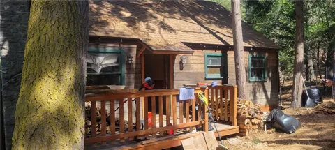
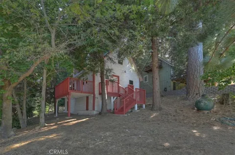
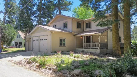
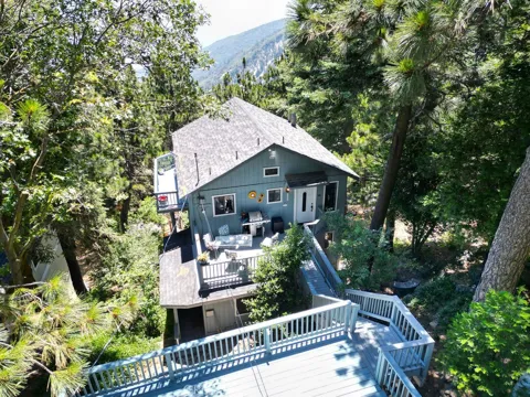
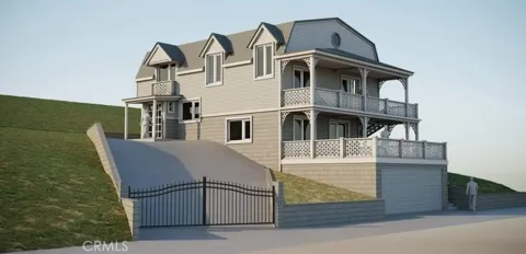
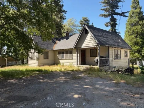
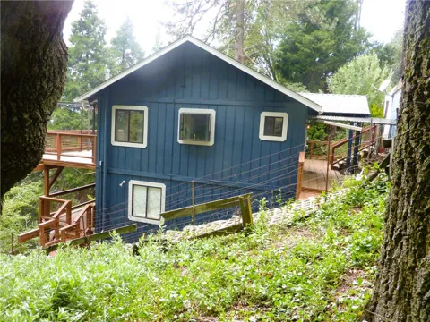
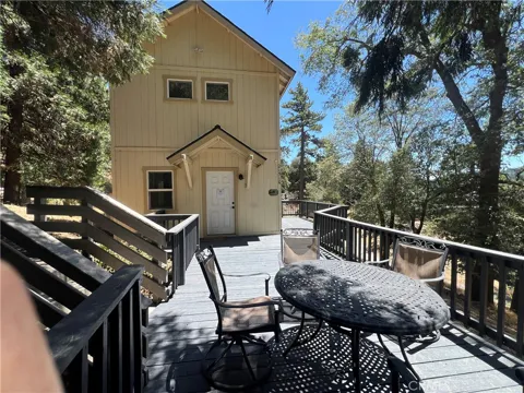
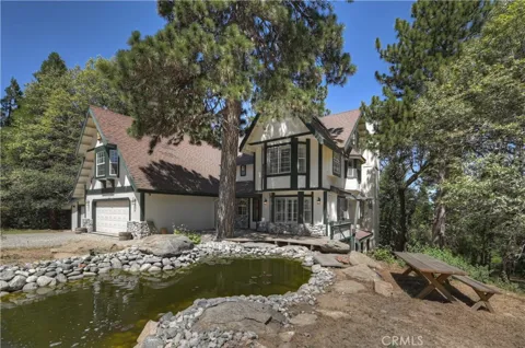
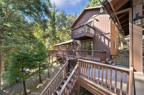
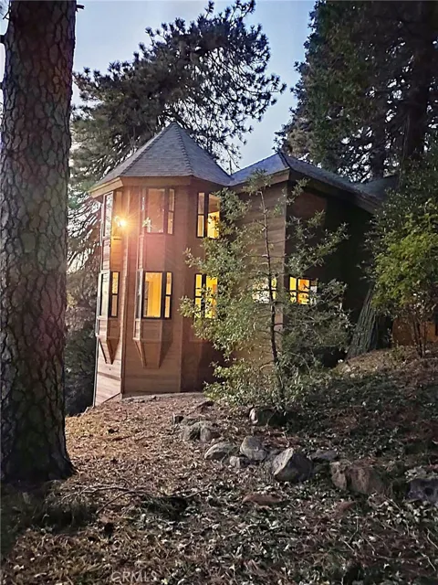
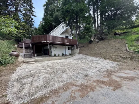
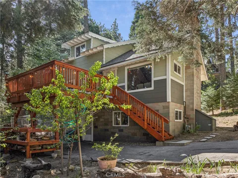
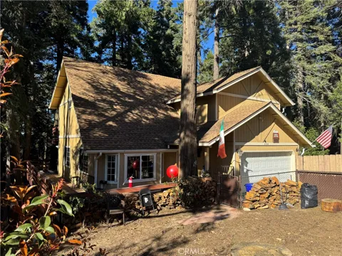
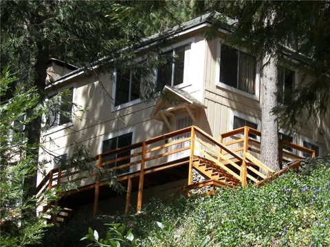
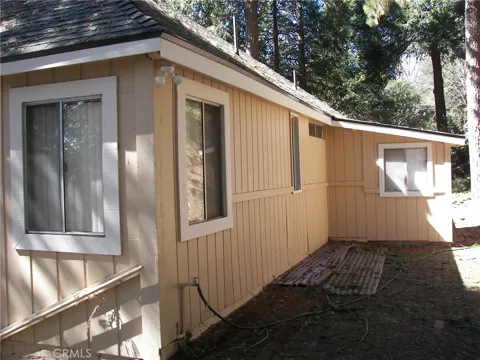
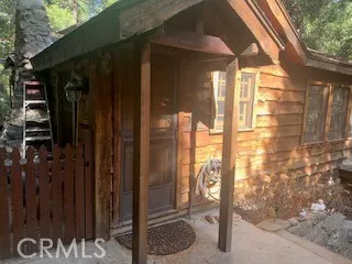
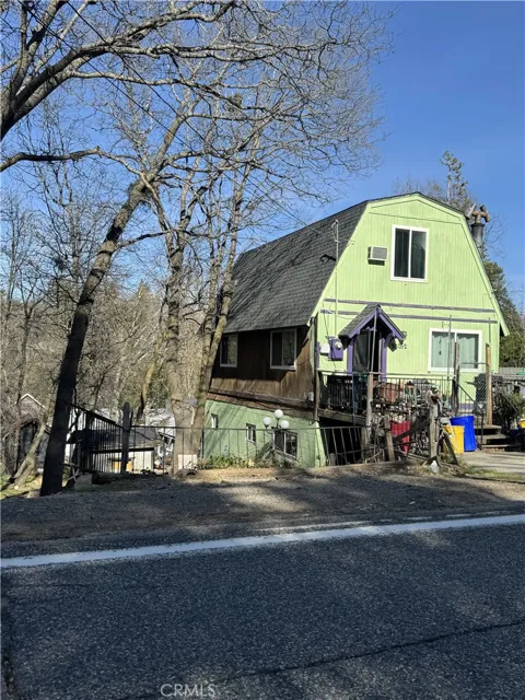
Cedarpines Park's housing is characteristic of a small San Bernardino Mountains community: low-density homes set on forested lots among pines and cedars, ranging from cozy cabins to larger mountain residences. The community has a quiet, spread-out feel, with properties that often back onto national forest land and offer seclusion and natural scenery. Some homes serve as full-time residences while others are mountain getaways. Because Cedarpines Park is unincorporated and lightly developed, the housing stock is limited and tends to emphasize privacy and setting over neighborhood density. Buyers are typically drawn by the forested, low-key mountain lifestyle rather than urban amenities.
Cedarpines Park is a single, lightly developed mountain community rather than a collection of distinct neighborhoods. Homes and cabins are scattered along the area's winding mountain roads amid the forest, giving the community a spread-out, secluded character with little of the block-and-subdivision layout found in the valley. The community lies west of Crestline, off Devils Canyon Road, and is closely tied to Crestline for services, schools, and shopping, while Lake Arrowhead and the other San Bernardino Mountains communities of Blue Jay and Rimforest lie farther east. This setting makes Cedarpines Park feel like a wooded retreat with neighbors at a comfortable distance.
Life in Cedarpines Park is defined by the mountain setting. The community sits among mixed conifer forests within the San Bernardino National Forest, with seasonal streams, snowy winters, and the four distinct seasons of the higher San Bernardino Mountains. It is a quiet, low-density place where daily life moves at a slower pace than the valley below, and where residents trade suburban convenience for forest scenery, wildlife, and cooler mountain air. Small-town services are found minutes away in Crestline, with its shops, restaurants, and Lake Gregory, while larger shopping, medical care, and employment are reached in the San Bernardino Valley. The community center and playground provide a local gathering place for residents.
Cedarpines Park is served by the Rim of the World Unified School District, headquartered in Blue Jay in the San Bernardino Mountains. The district operates three elementary schools, one middle school, and one high school, serving the mountain communities of the western San Bernardino range, including Crestline, Lake Arrowhead, and Running Springs. Students from Cedarpines Park attend the district's schools in the surrounding mountain communities, with busing along the area's mountain roads. The district's small, spread-out footprint reflects the region's low population density, and families also have access to the broader educational and higher-education resources of San Bernardino County below the mountains.
Cedarpines Park is reached by winding mountain roads off Devils Canyon Road, just west of Crestline. The community's setting within the San Bernardino National Forest means travel is entirely by car, with routes connecting down to the San Bernardino Valley below and east toward Crestline, Lake Arrowhead, and the other mountain communities. Crestline, the nearest service town, is minutes away, while the larger cities of the San Bernardino Valley — San Bernardino, Riverside, and the Inland Empire — are reached by descending the mountain highways. Winter snow can affect travel on mountain roads, making all-wheel drive and snow chains common considerations for residents in the colder months.
Recreation in Cedarpines Park is centered on the outdoors. The San Bernardino National Forest surrounds the community, providing hiking, mountain biking, off-road driving routes, and direct access to forest trails and scenery. Lake Gregory Regional Park, just minutes away in Crestline, offers year-round fishing from the shore, a walking trail, and seasonal swimming and boating on its 150 acres. Lake Arrowhead, with its village and private lake, lies a short drive east, adding dining, shops, and mountain-lake atmosphere. In winter, the area's snowfall brings seasonal snow play and access to nearby mountain recreation, while the community's own playground and community center host local gatherings.
MARKET SNAPSHOT
How homes have been selling here over the last 90 days.
Market data reflects closed sales over the last 90 days and is provided for informational purposes.
BROWSE BY ZIP
Browse listings by postal code in this area.