High-Desert Rural Community
Welcome to Pearblossom, an unincorporated Antelope Valley community in the Mojave Desert, set along the Pearblossom Highway in northern Los Angeles County.
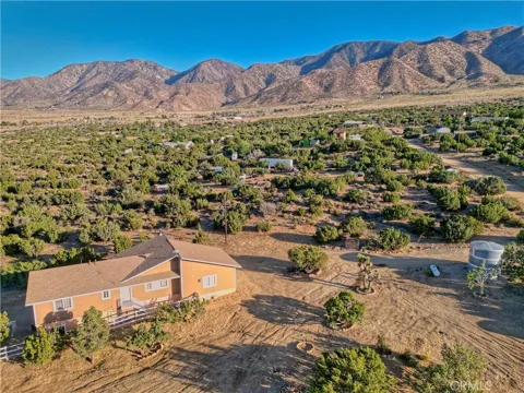
Pearblossom is an unincorporated community in the Antelope Valley of the Mojave Desert, in the northern, rural portion of Los Angeles County, California. It sits along State Route 138, the Pearblossom Highway, about fifteen miles southeast of Palmdale and near the smaller community of Littlerock, in a high-desert landscape of Joshua trees, creosote, and open land. The community's name reflects the area's agricultural past, when fruit orchards dotted the high desert. For much of the twentieth century Pearblossom remained a small, rural settlement, its economy tied to farming and ranching. In the 1960s the Pearblossom Highway became a main route connecting travelers from the Los Angeles Basin to the high desert and points beyond, toward Victorville, Las Vegas, and northern Arizona, cementing the community's place on the region's map. Today Pearblossom has a population of roughly 2,400 and retains its dispersed, rural character. Homes, small ranches, and commercial properties are scattered across the valley rather than arranged in dense subdivisions, and the community's high-desert setting is central to its identity. The Devil's Punchbowl Natural Area, a striking landscape of tilted sandstone formations within the San Gabriel Mountains and Angeles National Forest, lies just south of the highway and is the area's best-known natural landmark. Pearblossom offers a quiet, spacious alternative to the urbanized Los Angeles Basin while remaining connected to it. Palmdale and Lancaster provide employment, shopping, and services within a short drive, and the Pearblossom Highway links the community to the Antelope Valley Freeway and the wider region. Its residents include commuters, ranchers, and those drawn to the high desert's open skies and rural pace.
Pearblossom is in Los Angeles County, California, in the Antelope Valley region of the Mojave Desert. It is an unincorporated community in the northern, rural portion of the county, about fifteen miles southeast of Palmdale.
The Pearblossom Highway is State Route 138, a route through the high desert that connects the Antelope Valley Freeway to Victorville and points toward Las Vegas and northern Arizona. It runs directly through Pearblossom.
Devil's Punchbowl is a natural area of striking tilted rock formations south of the Pearblossom Highway, within the San Gabriel Mountains and Angeles National Forest. It offers hiking and dramatic high-desert scenery for visitors.
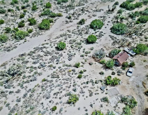
Pearblossom is a rural, high-desert community of scattered homes, Joshua trees, and open land. It offers a quiet, spacious setting away from the urbanized parts of Los Angeles County, with services in nearby Palmdale and Littlerock.
City Guide
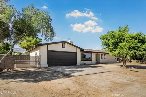
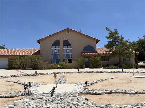
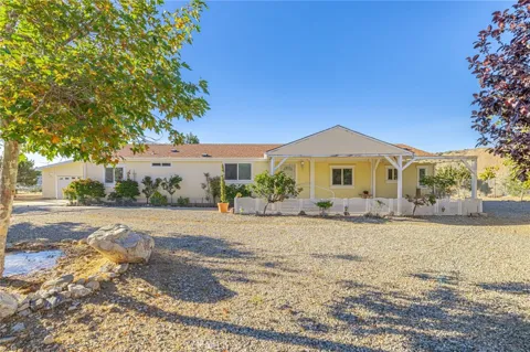
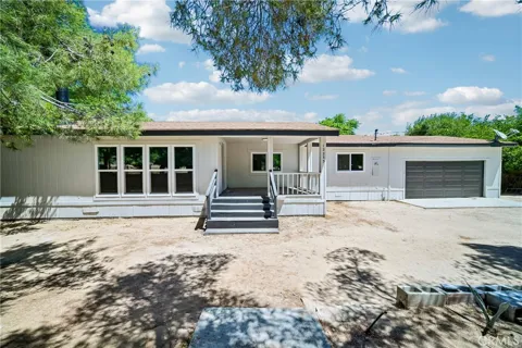
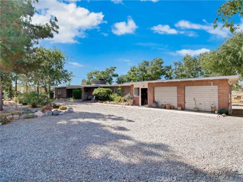
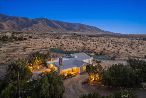
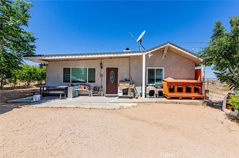
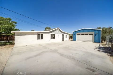
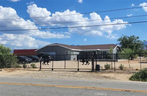
Pearblossom's housing stock reflects its rural, high-desert character. Properties are typically single-family homes on large lots, often with space for horses, outbuildings, or equipment, and some manufactured homes are present across the valley. Rather than dense subdivisions, the community is made up of scattered homes and small ranches, giving it a spread-out, low-density pattern. Development is limited, and the market is oriented toward those seeking acreage, privacy, and a rural setting within reach of the Antelope Valley's larger towns.
Pearblossom does not have conventional neighborhoods. The community is a loose collection of homes, ranches, and small commercial properties spread along the Pearblossom Highway and the surrounding desert roads. Joshua trees and open land separate properties, creating a dispersed, rural pattern typical of the Antelope Valley's unincorporated communities. This lack of dense subdivision development is central to Pearblossom's identity and distinguishes it from the planned suburbs elsewhere in Los Angeles County.
Pearblossom offers the quiet, spacious lifestyle of the high desert. Residents live among Joshua trees and open land, with a pace far removed from the urbanized Los Angeles Basin. The community's rural character attracts people seeking space, dark skies, and a connection to the desert landscape, including commuters who travel to Palmdale, Lancaster, or the wider region for work. Services are modest, so shopping and healthcare are found in nearby Palmdale and Littlerock. The result is a self-contained, unhurried way of life in the northern reaches of Los Angeles County.
Public education for Pearblossom is provided by the Antelope Valley school districts that serve this part of the high desert, with elementary, middle, and high school campuses in the surrounding communities. Students attend the schools of the districts covering the unincorporated areas around Palmdale and Littlerock. For higher education, Antelope Valley College in Lancaster offers two-year and workforce programs, and California State University and other institutions in the Los Angeles area are accessible via the region's highways.
Pearblossom sits on State Route 138, the Pearblossom Highway, which connects the Antelope Valley Freeway to Victorville and routes toward Las Vegas and northern Arizona. This highway is the community's principal transportation link, tying it west to Palmdale and Lancaster and east across the high desert. The Antelope Valley Freeway, State Route 14, lies a short drive to the west, providing access to the San Fernando Valley and the Los Angeles Basin. Palmdale's Metrolink commuter rail station and the Palmdale Regional Airport are also within reach.
Recreation around Pearblossom is centered on the high desert and the nearby mountains. The Devil's Punchbowl Natural Area offers hiking among dramatic tilted rock formations, and the Angeles National Forest and San Gabriel Mountains provide extensive trails and camping. The Antelope Valley's open desert supports off-road riding, horseback riding, and stargazing under dark skies. The Antelope Valley California Poppy Reserve lies within driving distance, and the region's desert landscapes offer year-round outdoor opportunities within a short drive of the community.
MARKET SNAPSHOT
How homes have been selling here over the last 90 days.
Market data reflects closed sales over the last 90 days and is provided for informational purposes.
BROWSE BY ZIP
Browse listings by postal code in this area.