High Desert Foothill Community
Welcome to Piñon Hills, a high-desert community in San Bernardino County set along Pearblossom Highway, between the Antelope Valley and the San Gabriel Mountains, with big-sky views and trails nearby.
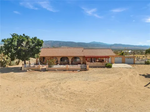
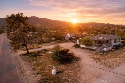
Piñon Hills is a high-desert community in San Bernardino County, California, near the Los Angeles County line. It lies along Pearblossom Highway at an elevation of about 4,200 feet, roughly 28 miles east of Palmdale and 15 miles west of the Cajon Pass, where the highway meets Interstate 15. The community is part of a tri-community with Phelan and Wrightwood, and it sits within about 25 miles of the Victor Valley cities of Hesperia and Victorville. The area's identity is rooted in its landscape. Piñon Hills is named for the pinyon pines that dot the terrain, alongside junipers and Joshua trees, and it offers expansive views of the San Gabriel Mountains and the Antelope Valley. The population of roughly 7,300 is spread across large rural lots, giving the community a low-density, semi-rural character with dark skies and open horizons. Housing reflects this rural setting. Properties are typically ranch-style homes built from the 1980s onward, many on two-acre or larger parcels under rural-living zoning that permits single-family homes and incidental agriculture. Residents commonly keep horses or livestock, and the dispersed lot pattern means privacy and space are defining features rather than dense neighborhood living. Education is provided by the Snowline Joint Unified School District, formed in 1982, which serves Piñon Hills along with Wrightwood, Phelan, and several neighboring communities, with Pinon Hills Elementary located in the area. Recreation is a major strength: the Pacific Crest Trail, Mount Baden-Powell, Big Horn Mine, and Blue Ridge trails are all nearby, and the mountain community of Wrightwood offers skiing and additional outdoor access. For households, Piñon Hills offers a rural high-desert lifestyle with acreage, mountain recreation, and big-sky scenery within commuting distance of Palmdale, Victorville, and the Cajon Pass. It suits those who prioritize space, privacy, and access to the outdoors over urban amenities and walkability.
Piñon Hills is in San Bernardino County, California, near the Los Angeles County line. It sits along Pearblossom Highway at about 4,200 feet elevation, east of Palmdale and west of the Cajon Pass.
Piñon Hills is about 28 miles east of Palmdale and roughly 25 miles from Hesperia and Victorville. Pearblossom Highway links the community to Interstate 15 at the Cajon Pass, about 15 miles to the east.
Piñon Hills is served by the Snowline Joint Unified School District, which was formed in 1982 and also serves Wrightwood, Phelan, Baldy Mesa, Oak Hills, West Cajon Valley, and portions of Victorville. Pinon Hills Elementary is located in the community.
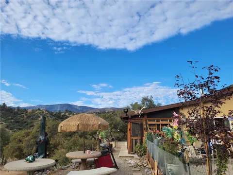
Piñon Hills is known for its high-desert setting of pinyon pines, junipers, and Joshua trees, its large rural lots, and its big-sky views of the San Gabriel Mountains. It is part of a tri-community with Phelan and Wrightwood.
Piñon Hills lies near Wrightwood, a mountain community known for skiing and hiking. The area offers trails including the Pacific Crest Trail, Mount Baden-Powell, and Big Horn Mine, along with horseback riding and desert recreation.
City Guide
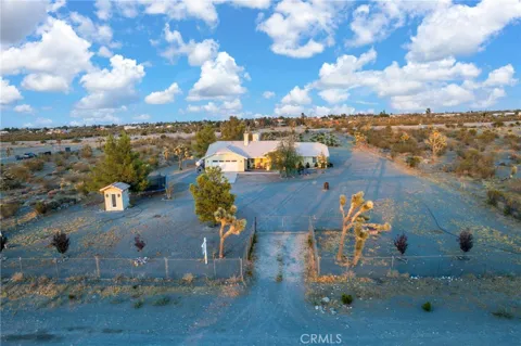
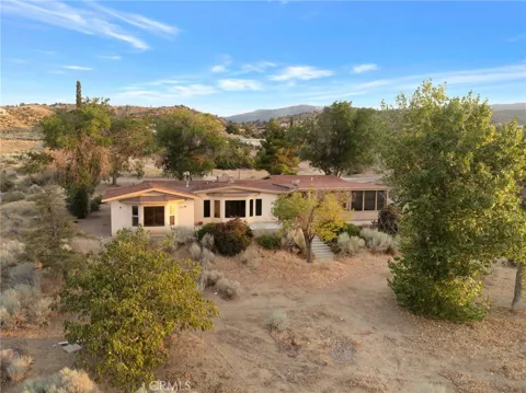
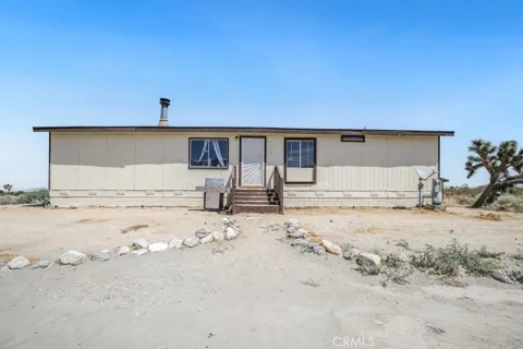
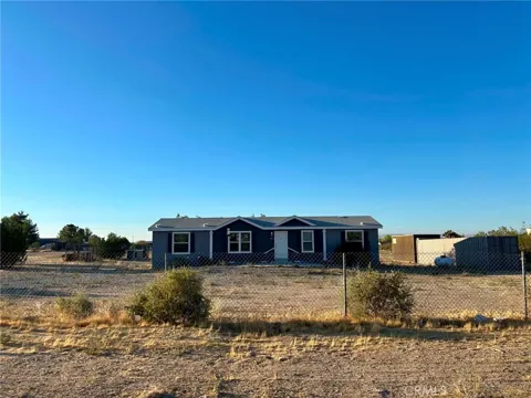
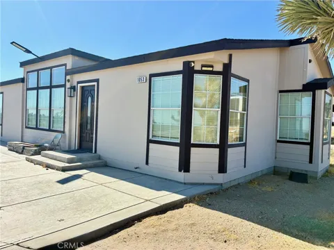
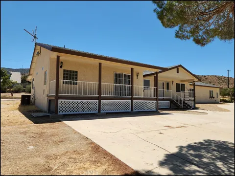
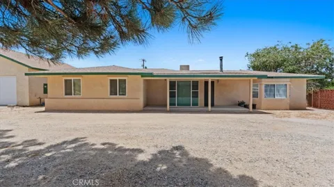
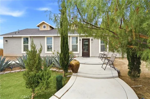
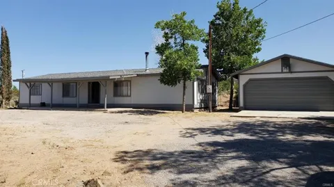
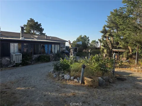
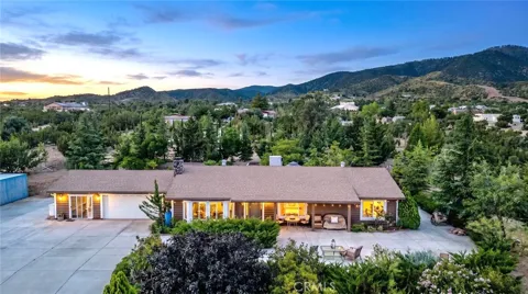
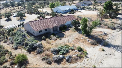
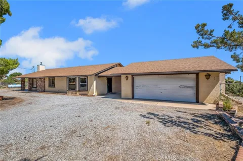
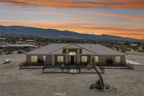
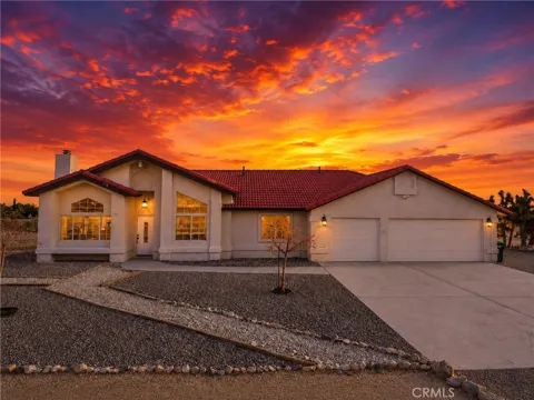
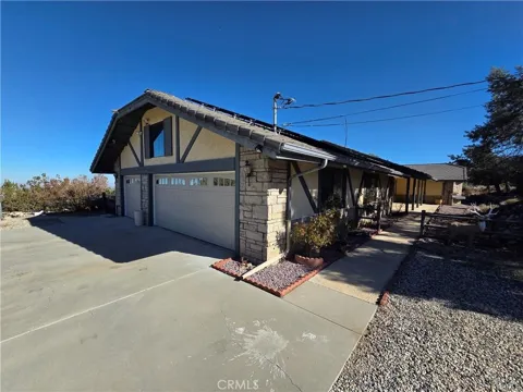
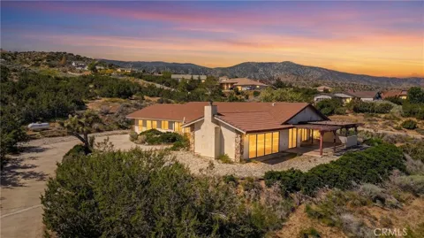
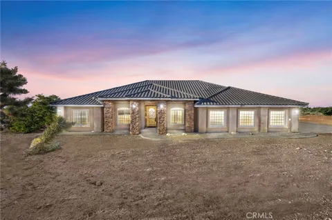
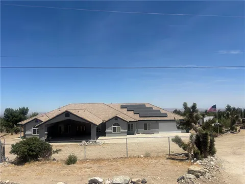
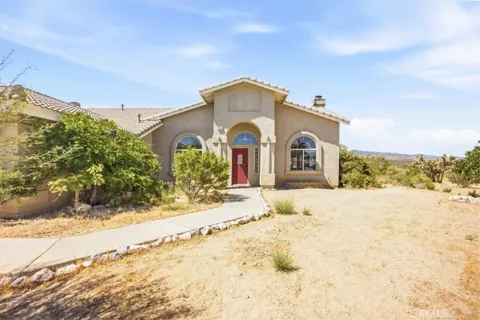
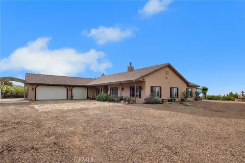
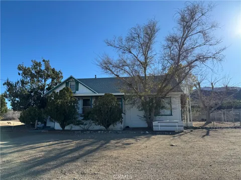
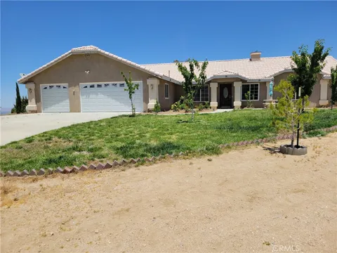
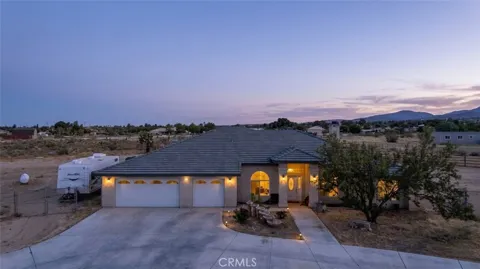
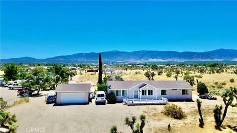
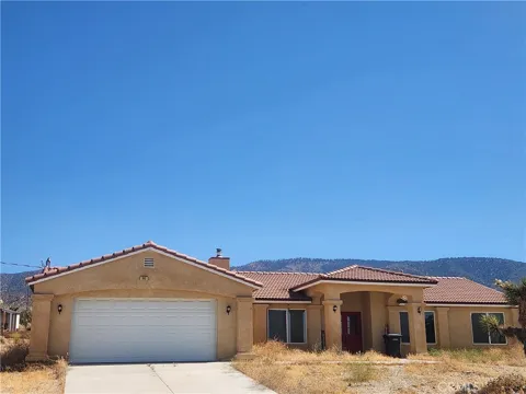
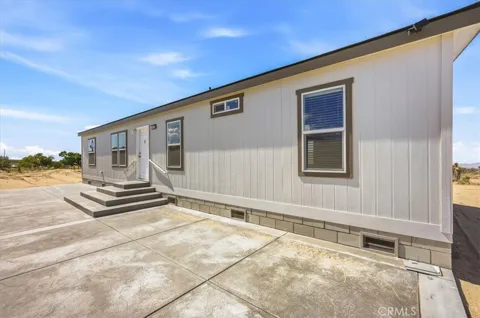
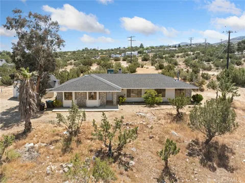
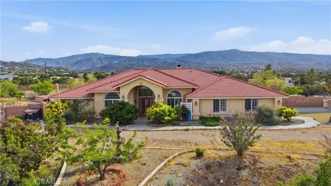
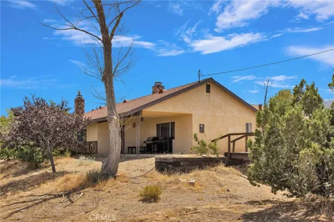
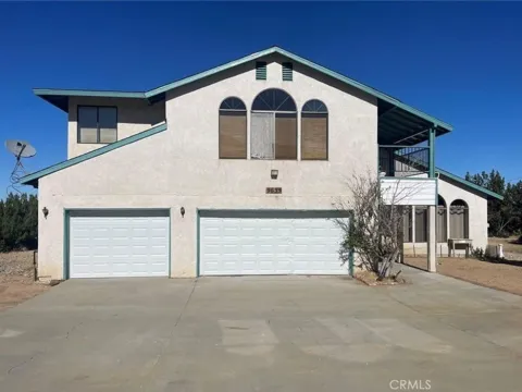
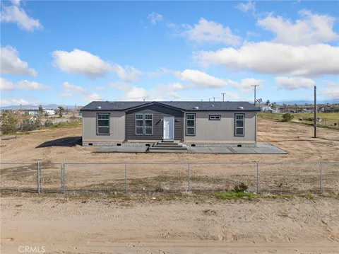
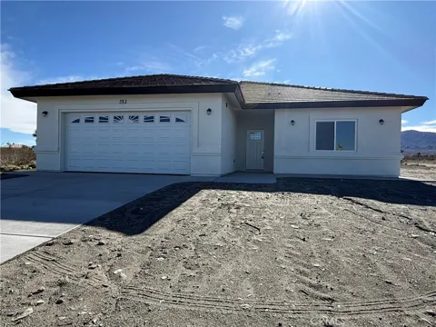
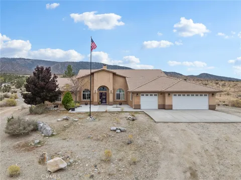
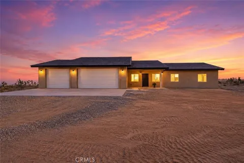
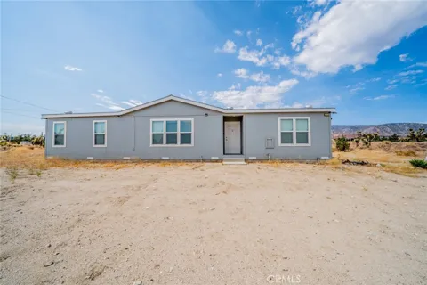
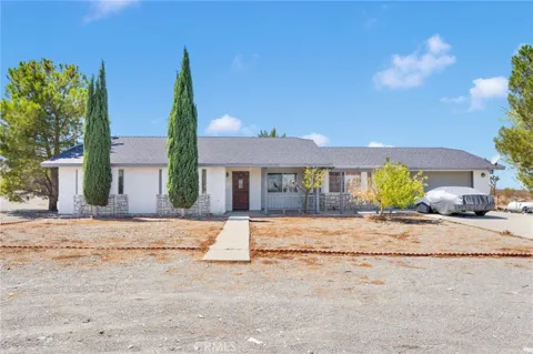
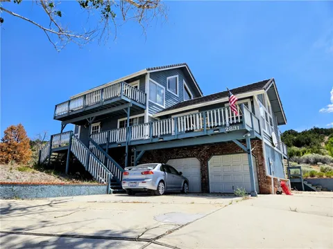
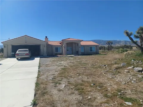
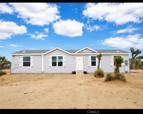
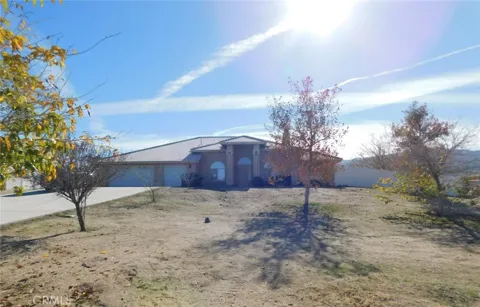
Piñon Hills' housing is characterized by rural, large-lot living. The area is zoned for rural residential use, allowing single-family homes and incidental agriculture, with many properties on two-acre or larger parcels. The housing stock consists largely of ranch-style homes built in the 1980s and 2000s, spread across the desert landscape rather than arranged in dense subdivisions. This pattern gives buyers room for horses, workshops, and outdoor space, with a sense of separation between neighbors that is rare closer to the city. The trade-off is fewer urban amenities and longer drives for services, but for those seeking acreage, desert views, and a self-directed rural lifestyle, Piñon Hills offers a distinctive housing profile within commuting reach of the Victor Valley and Antelope Valley.
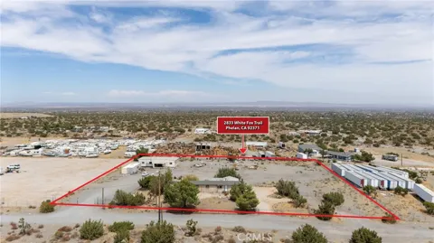
Piñon Hills is not organized around traditional subdivisions; instead, its homes are dispersed across large rural lots along desert roads and the Pearblossom Highway corridor. This gives the community a wide-open, semi-rural character, with properties set back among pinyon and juniper trees. The community is part of a larger tri-community with Phelan and Wrightwood, and nearby areas such as Baldy Mesa, Oak Hills, and West Cajon Valley extend the region's rural residential pattern. Residents share regional services, the Snowline school district, and access to the San Gabriel Mountains, creating a connected high-desert community despite its spread-out layout.
Life in Piñon Hills is defined by the high desert: open horizons, clear starry nights, and a landscape of pinyon pines, junipers, and Joshua trees. The community is rural and low-density, with many residents keeping horses or livestock on larger lots and valuing space and quiet over urban convenience. The pace is unhurried, and the surrounding San Gabriel Mountains provide a constant backdrop. Daily needs often involve drives to Phelan, Wrightwood, or the larger Victor Valley cities, and commutes to Palmdale, Victorville, or the Los Angeles basin are part of the trade-off for the setting. For those drawn to desert living, mountain access, and dark skies, Piñon Hills offers a distinctive, nature-centered lifestyle at the edge of the Antelope Valley.
Public education in Piñon Hills is provided by the Snowline Joint Unified School District, which was formed in 1982. The district serves the tri-community of Piñon Hills, Phelan, and Wrightwood, along with Baldy Mesa, Oak Hills, West Cajon Valley, and portions of Victorville. Pinon Hills Elementary School is located within the community. The district's rural, multi-community structure means students attend campuses across the region, and families value the district's small-community feel and its proximity to the mountain and desert environments. For higher education, residents can access Victor Valley College in the nearby Victor Valley and other regional institutions.
Pearblossom Highway (State Route 138) is Piñon Hills' primary route, running east-west through the community and connecting it to Palmdale and the Antelope Valley to the west. At the Cajon Pass, about 15 miles east, the highway meets Interstate 15, the main corridor north to the Victor Valley and south toward the Inland Empire and Los Angeles basin. Hesperia and Victorville are within about 25 miles, and commuters to Palmdale, Victorville, or the Los Angeles area rely primarily on these highways. The community's rural layout makes personal vehicles essential, and the highway access provides the key link between its quiet desert setting and the region's larger employment centers.
Recreation in Piñon Hills centers on the high desert and the San Gabriel Mountains. Hiking is a primary draw, with trails to Mount Baden-Powell, Big Horn Mine, and Blue Ridge nearby, along with access to the Pacific Crest Trail and the Wright Mountain area. Horseback riding is common among residents, and the open desert terrain supports scenic drives and wildlife viewing. The mountain community of Wrightwood, a short drive away, adds skiing, snow play, and additional trailheads, while the Angeles National Forest extends the range of outdoor options. Clear, dark skies make the area popular for stargazing, and the region's Joshua trees and desert sunsets define its visual character.
MARKET SNAPSHOT
How homes have been selling here over the last 90 days.
Market data reflects closed sales over the last 90 days and is provided for informational purposes.
BROWSE BY ZIP
Browse listings by postal code in this area.