Berry Capital of the Pajaro Valley
Welcome to Watsonville, the agricultural heart of Santa Cruz County's Pajaro Valley, where berry fields meet the wetlands of Monterey Bay.
Watsonville is a city at the southern end of Santa Cruz County, California, situated in the fertile Pajaro Valley near the meeting of the Pajaro River and the Monterey Bay coast. Located roughly 95 miles south of San Francisco and about a 30-minute drive from Monterey, it is the largest city in the county's southern portion and home to approximately 52,000 residents. Its history is bound to the land: Watsonville developed as an agricultural center in the late 19th century, and farming has defined its economy and character ever since. The Pajaro Valley is one of the most productive agricultural regions in the state. Watsonville's economy is anchored by agriculture, forestry, fishing, and hunting, which employ thousands of residents, alongside health care and retail trade. The area is a major producer of strawberries and other berries, and Santa Cruz and neighboring Monterey counties rank among the country's leading berry-growing regions, with fresh and processed crops shipped worldwide. Beyond the fields, Watsonville's setting is shaped by water. The city sits within a network of freshwater wetlands — the Watsonville sloughs — that shelter more than 200 species of waterfowl, raptors, and songbirds. Just north, Elkhorn Slough National Estuarine Research Reserve preserves one of the last undisturbed coastal wetlands in California, with tidal creeks, salt marsh, and miles of trails. Pacific beaches lie a short drive west. Watsonville functions as a self-contained working city rather than a bedroom suburb. It has its own school district, hospital, municipal airport, and historic downtown, and its population is notably younger and more rooted in the agricultural economy than the coastal towns to the north. For residents, it offers a Central Coast lifestyle with a genuine agricultural identity, lower density than the Bay Area, and easy access to both the beaches of Santa Cruz County and the amenities of Monterey Bay.
Watsonville is in Santa Cruz County, California, at the southern end of the county in the fertile Pajaro Valley. It is the county's main agricultural city and sits close to the Monterey County line.
Watsonville is known as the agricultural heart of the Pajaro Valley, a leading producer of strawberries and other berry crops. It is also known for the Watsonville sloughs wetlands and its proximity to Elkhorn Slough and Monterey Bay beaches.
Watsonville is served by the Pajaro Valley Unified School District, which is based in the city. The district operates more than 30 schools and serves over 17,000 students across southern Santa Cruz County, covering Watsonville and the surrounding Pajaro Valley.
Watsonville is roughly 95 miles south of San Francisco and about a 30-minute drive from Monterey. Santa Cruz lies a short distance north along State Route 1, and San Jose is reachable over State Route 152 or coastal routes.
City Guide
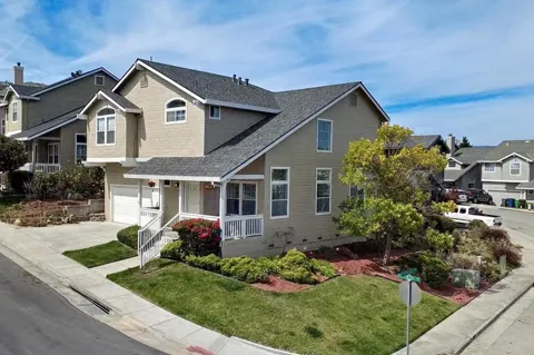
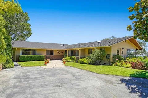
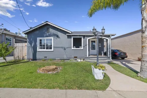
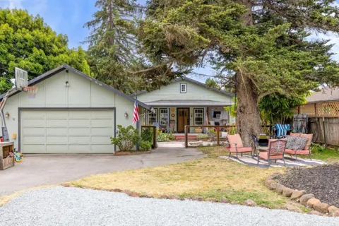
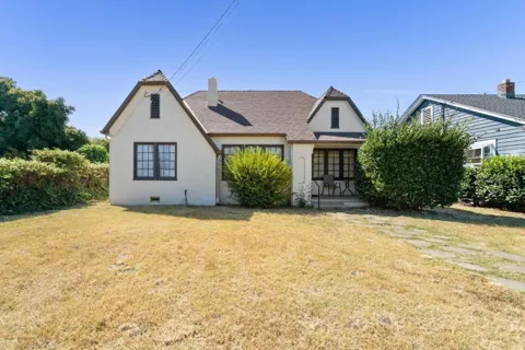
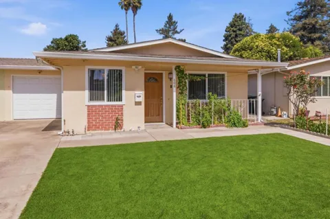
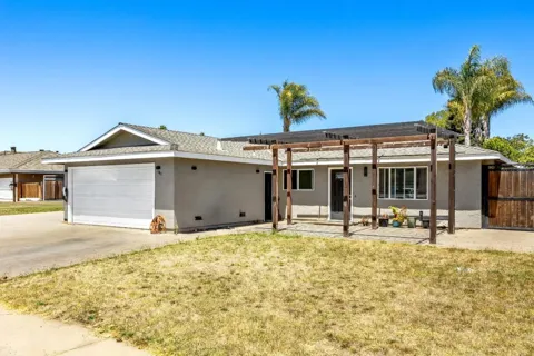
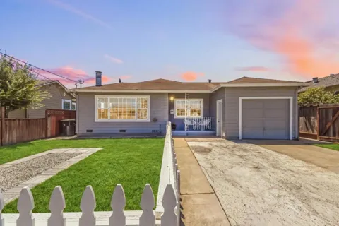
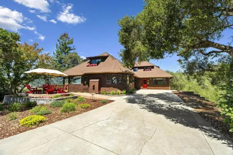
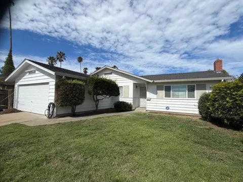
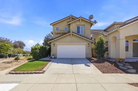
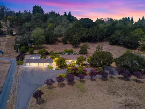
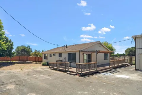
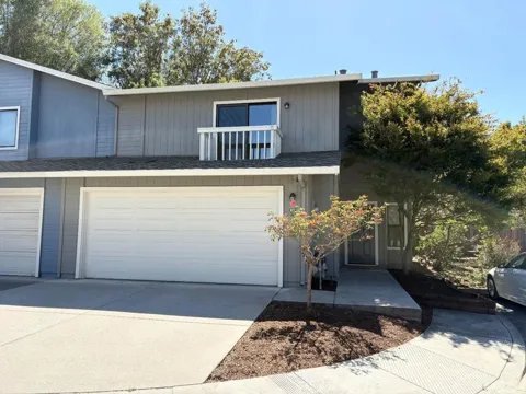
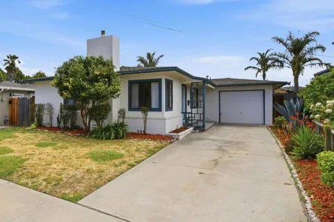
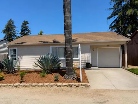
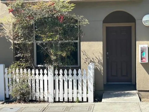
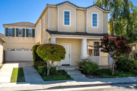
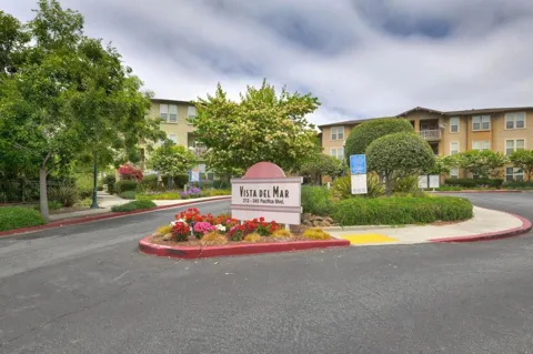
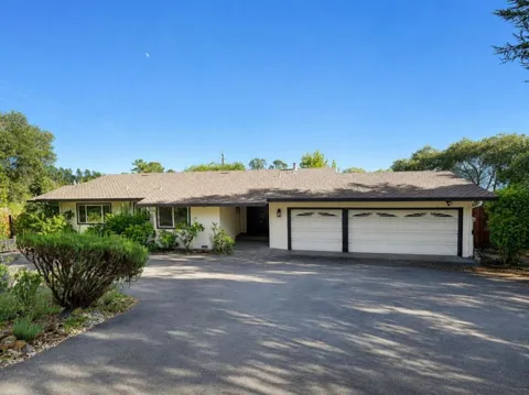
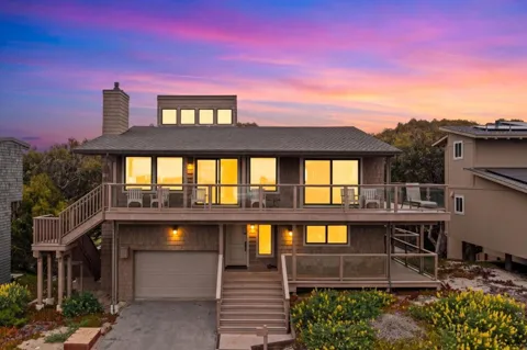
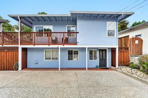
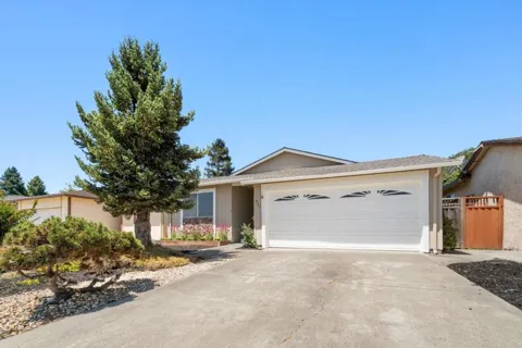
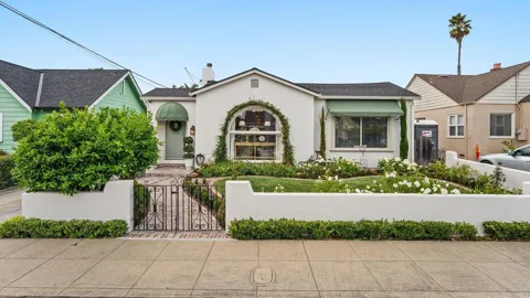
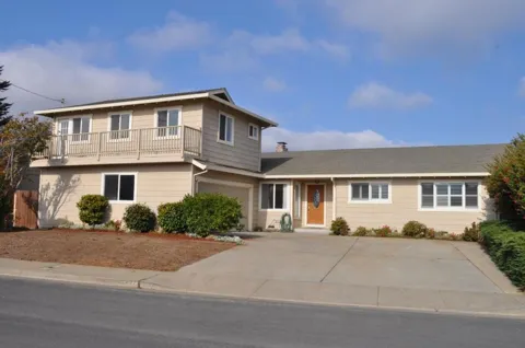
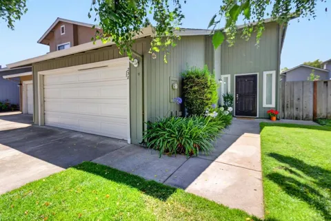
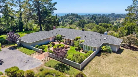
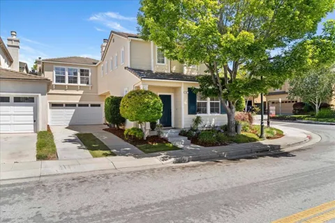
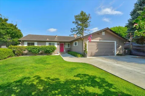
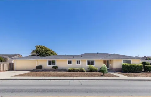
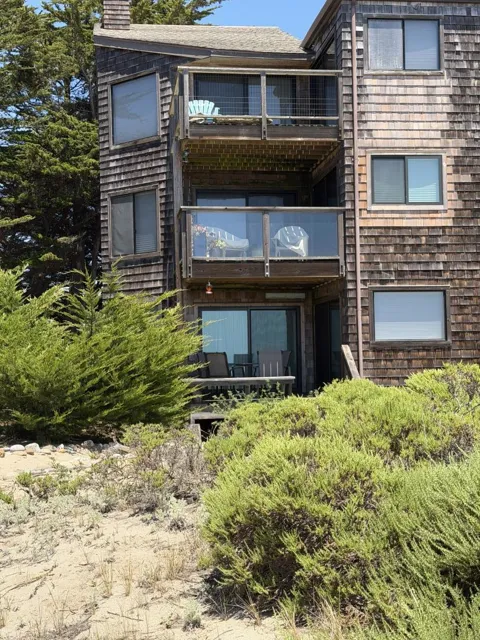
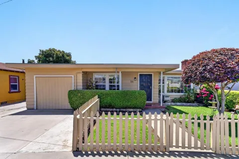
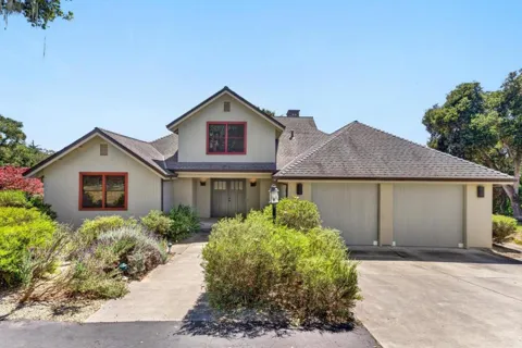
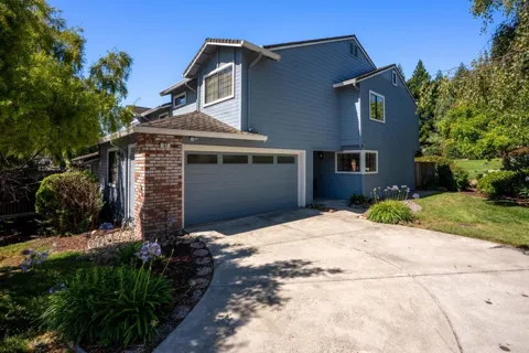
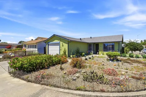
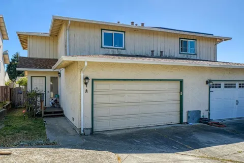
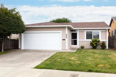
Watsonville's housing stock reflects its history as a compact agricultural city. The city's core holds older, modestly scaled single-family homes, many built during the mid-20th century, set on a street grid near downtown. The surrounding Pajaro Valley mixes working farmland with residential streets and scattered newer development, giving parts of the city a transitional, semi-rural edge. Compared with the pricier coastal communities to the north, Watsonville has traditionally offered more attainable housing, which has drawn families and workers tied to the region's agriculture, health care, and services. The market combines in-town bungalows and ranch-style homes with newer subdivisions on the periphery, and the flat valley terrain keeps neighborhoods walkable and bikeable relative to the hillside towns elsewhere in the county.
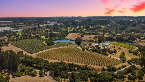
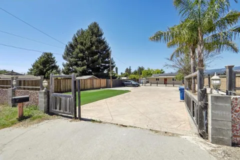
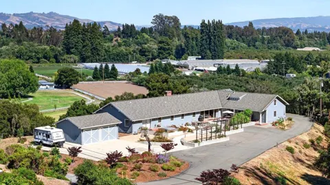
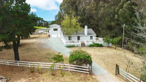
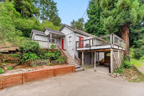
Watsonville is organized around a historic downtown and a set of established residential districts rather than gated master-planned communities. Downtown anchors the city with its civic buildings, small shops, and restaurants, many reflecting the area's Mexican-American heritage and agricultural roots. Older neighborhoods of bungalows and mid-century homes spread outward from the core, while newer subdivisions occupy the flatter ground at the city's edges. The surrounding Pajaro Valley is dotted with ranches, berry fields, and small farm clusters that give the area its distinctive working-landscape character. To the north, the wetlands transition toward Elkhorn Slough and the rural corridor leading to the coast; to the south, the city reaches toward the Pajaro River and the Monterey County line, connecting Watsonville to the Salinas Valley and the broader Monterey Bay region.

Watsonville's lifestyle is grounded in agriculture and community. The city's identity is closely tied to the Pajaro Valley's fields and packing sheds, and its population is largely rooted in the region's farm economy, with a strong Mexican-American cultural presence reflected in local food, festivals, and civic life. The downtown offers family-run restaurants, bakeries, and markets alongside civic institutions, while roadside farm stands and produce outlets connect residents directly to the harvest. Seasonal rhythms follow the berry and vegetable crops that surround the city. Beyond town, residents are minutes from Monterey Bay beaches, the bird-rich wetlands of the sloughs, and the trails of Elkhorn Slough, and within easy reach of Santa Cruz to the north and Monterey to the south. It is a working city with deep roots, rather than a resort town, and its pace reflects that.
Watsonville is served by the Pajaro Valley Unified School District, which is based in the city and encompasses a broad area of southern Santa Cruz County, including several dozen schools and more than 17,000 students. The district's boundaries extend beyond Watsonville into the surrounding Pajaro Valley, and it operates elementary, middle, and high schools across the area, including Watsonville High School. Because the district is the primary public school option for the region, most Watsonville students attend Pajaro Valley Unified schools. Nearby higher education options include Cabrillo College in Aptos and the University of California, Santa Cruz, while California State University, Monterey Bay lies a short drive south. Private and parochial schools also serve families within the city and the wider valley.
Watsonville sits at a crossroads in the southern Central Coast. State Route 1 runs along the city's western edge, connecting north to Santa Cruz and south toward Monterey, while State Route 152 links Watsonville eastward through the Pajaro Valley toward Gilroy and the Highway 101 corridor to the Bay Area. State Route 129 also feeds into the valley. Watsonville Municipal Airport serves general aviation. For commuters, the location offers routes toward Santa Cruz, Monterey, and the Salinas Valley, though daily travel to San Jose and the greater Bay Area involves a substantial drive over the coastal or valley passes. The flat terrain of the valley supports local bicycling, and the city's compact grid makes many everyday trips short. Regional rail and major commercial air service are accessed via the Bay Area and Monterey.
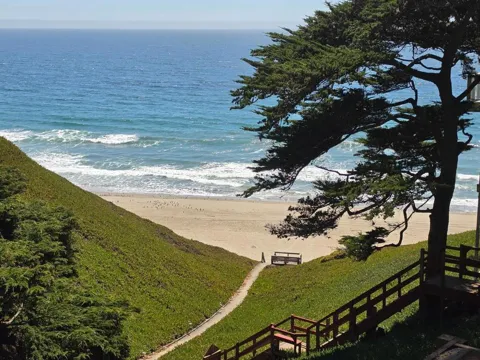
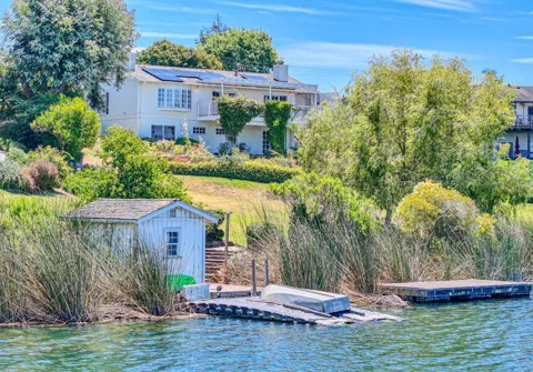
Watsonville's recreation is defined by its wetlands, coastline, and farmland. The Watsonville sloughs form a network of freshwater wetlands where more than 200 species of waterfowl, raptors, and songbirds live and migrate, with trails winding through the area. Just north, Elkhorn Slough National Estuarine Research Reserve protects one of California's last great coastal wetlands, offering about five miles of trails through oak woodland, tidal creeks, and salt marsh. Pacific beaches such as those along the Monterey Bay shore lie a short drive west, and the city's proximity to the ocean means surfing, beach walking, and birding are part of local life. Community parks and the municipal airport's open space add to the mix, while Santa Cruz's larger beach and boardwalk attractions sit just up the coast.
MARKET SNAPSHOT
How homes have been selling here over the last 90 days.
Market data reflects closed sales over the last 90 days and is provided for informational purposes.
BROWSE BY ZIP
Browse listings by postal code in this area.