
Santa Monica Mountains Canyon
Listings in Topanga, CA
A semi-rural canyon community in the Santa Monica Mountains, minutes from the coast and the San Fernando Valley.
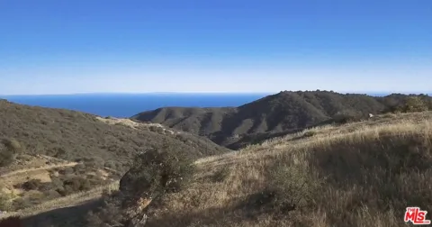
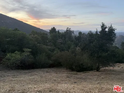
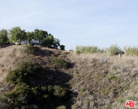
Topanga is an unincorporated, semi-rural community in the Santa Monica Mountains of western Los Angeles County, occupying Topanga Canyon and the surrounding hills. The narrow southern reach of the canyon meets the coast between the city of Malibu and the Los Angeles neighborhood of Pacific Palisades, while the northern end climbs toward the San Fernando Valley. About 8,600 residents live here, spread thinly across a rugged, chaparral-covered landscape of steep ridges and shaded creek beds. The land has a long history. The Tongva people inhabited the canyon before Spanish colonization, and the area later became part of the Rancho Topanga Malibu Sequit land grant. In the early twentieth century, Topanga drew weekenders who built tent cabins, beach cottages, and small ranches; by the 1960s it had become a celebrated counterculture haven, home to musicians, artists, and others seeking distance from the city while remaining within reach of it. That dual character still defines Topanga today. It feels like its own world—wooded, quiet, and only loosely connected to the rest of Los Angeles by a winding canyon road—yet the Pacific Coast Highway and the San Fernando Valley are only minutes away. Topanga State Park, an 11,525-acre preserve that is part of the Santa Monica Mountains National Recreation Area, wraps around much of the community and reinforces its identity as a place oriented to open space and retreat. Residents tend to value privacy, the natural surroundings, and the small, close-knit social fabric of the canyon over the conveniences of denser Los Angeles living.
Get more information about Topanga
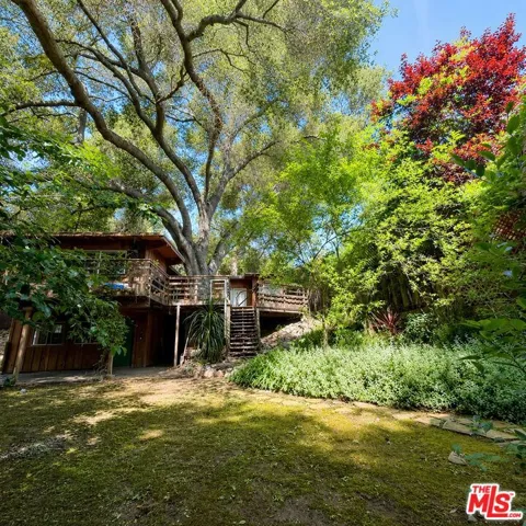
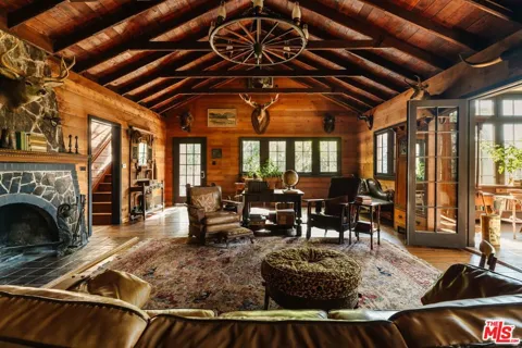
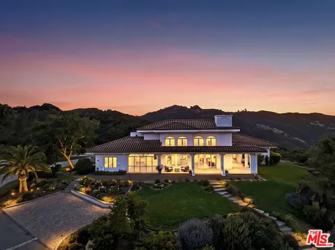
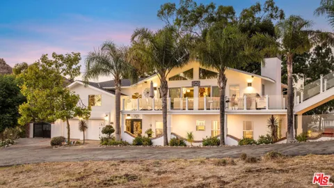
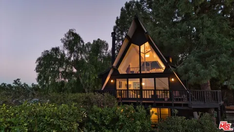
Houses in Topanga, CA
Condos & Apartments in Topanga, CA
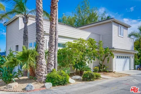
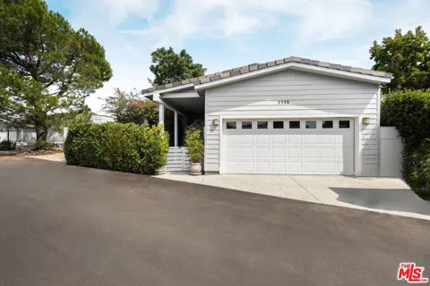
For Rent in Topanga, CA
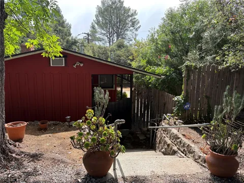
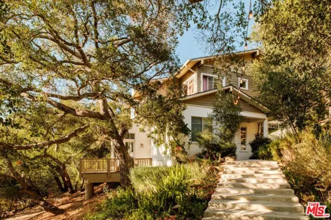
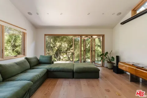
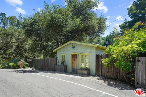
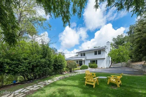
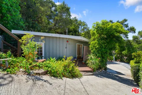
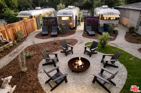
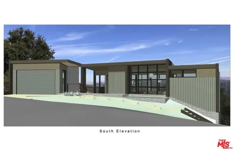
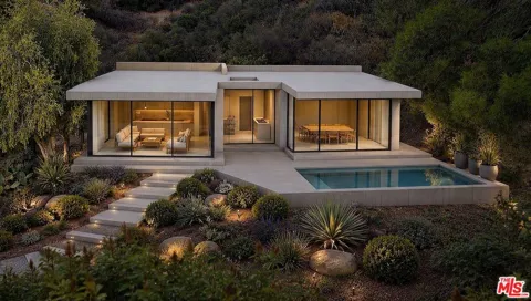
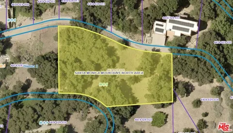
Lots & Land in Topanga, CA
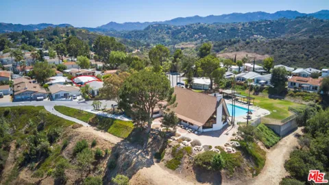
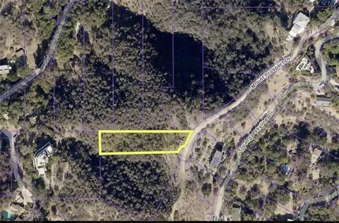
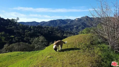
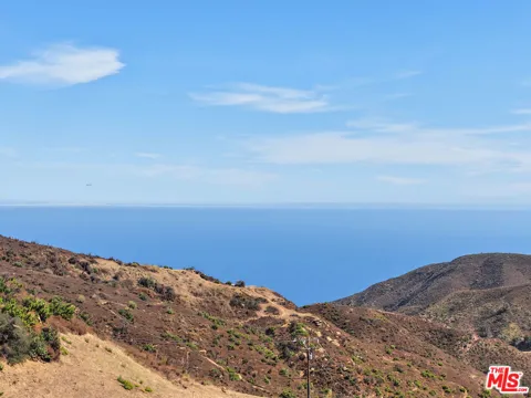
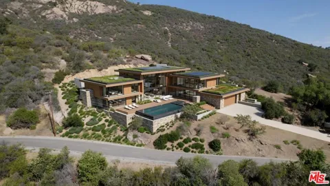
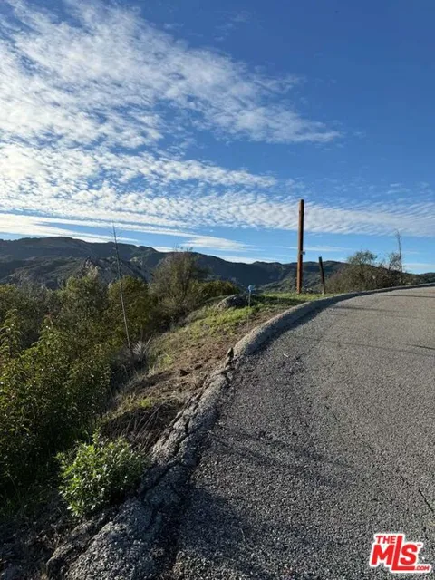
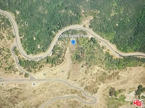
MARKET SNAPSHOT
The Market at a Glance
How homes have been selling here over the last 90 days.
Price & Sales History
Market data reflects closed sales over the last 90 days and is provided for informational purposes.
Zip Codes
BROWSE BY ZIP
Browse listings by postal code in this area.
- Grid
- Map
- List
City Guide
About Topanga
Real Estate & Housing
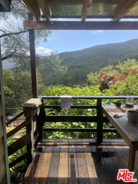
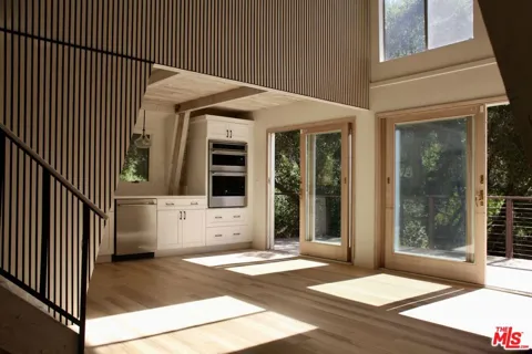
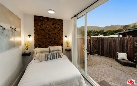
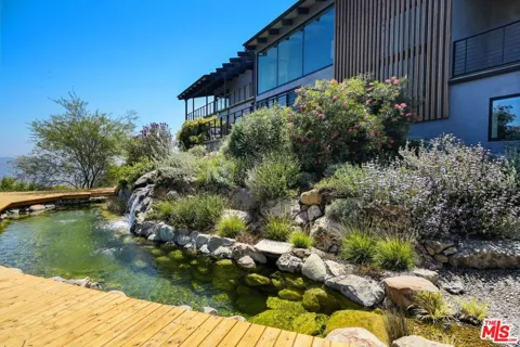
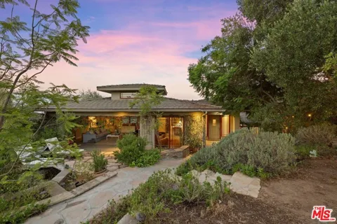
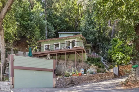
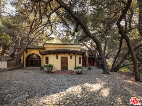
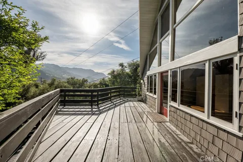
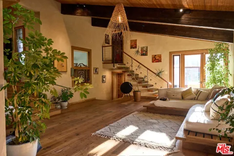
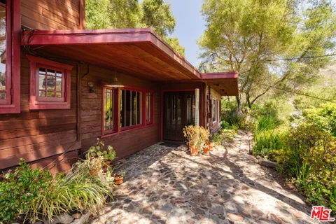
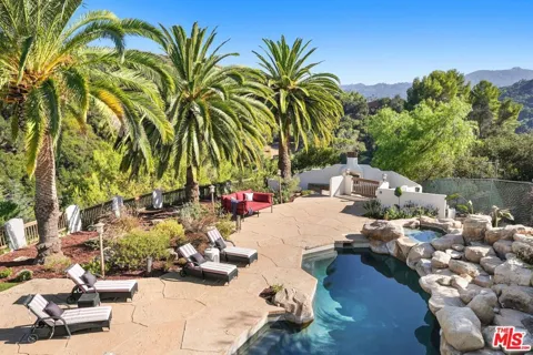
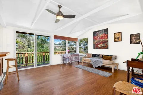
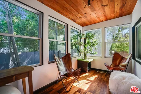
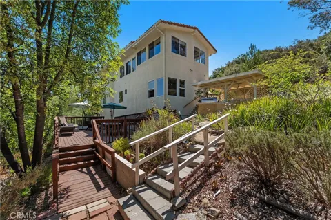
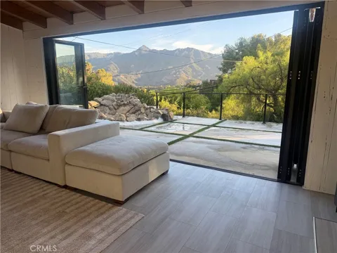
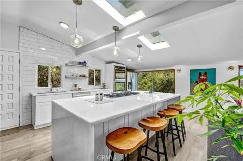
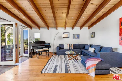
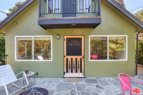
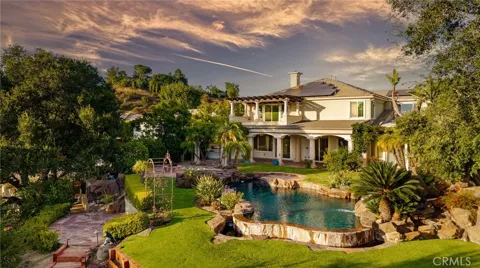
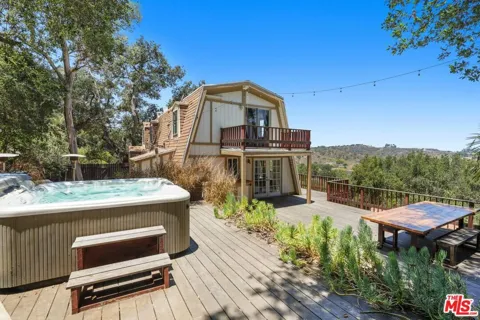
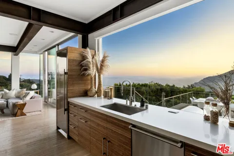
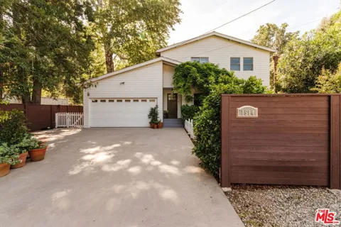
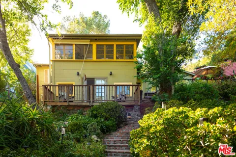
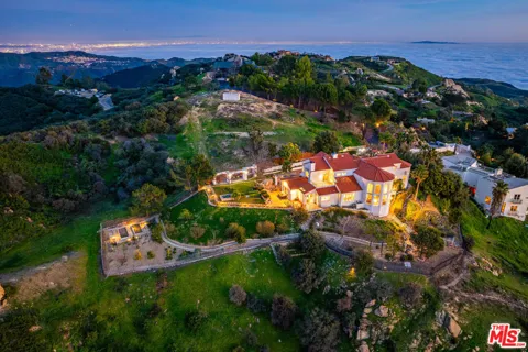
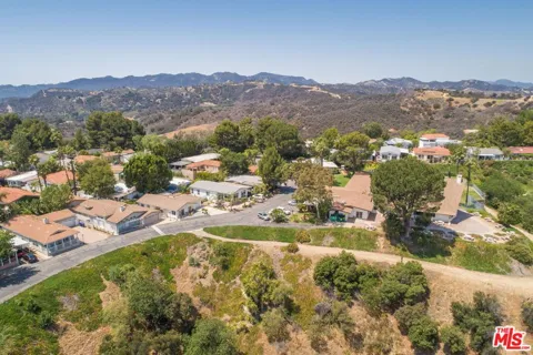
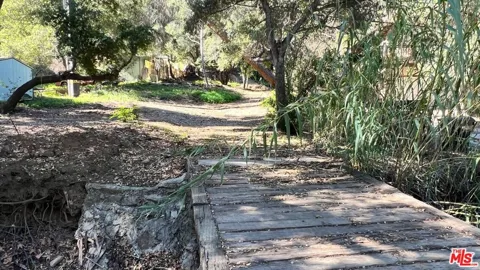
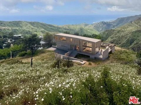
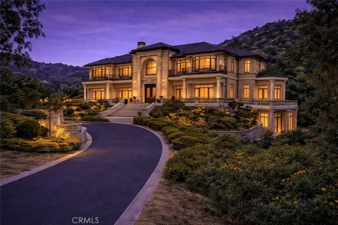
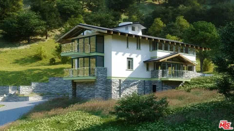
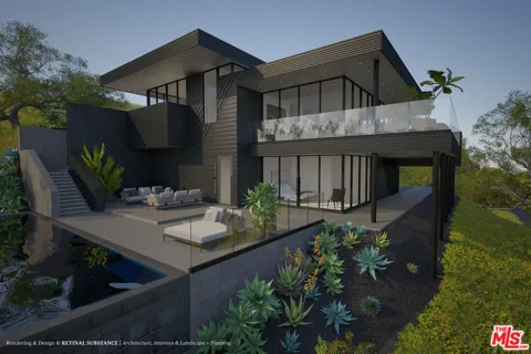
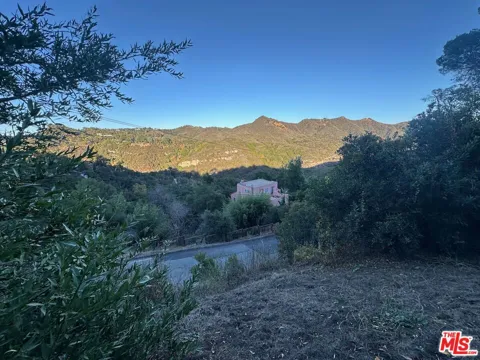
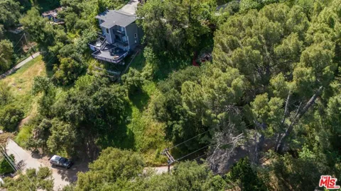
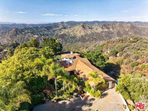
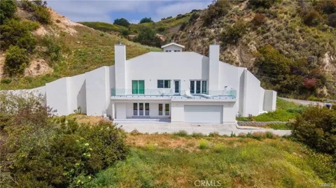
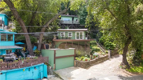
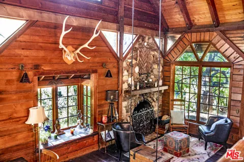
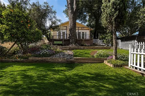
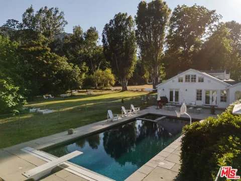
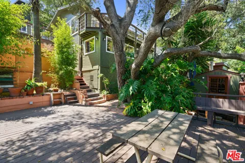
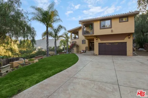
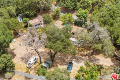
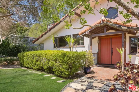
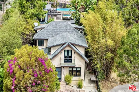
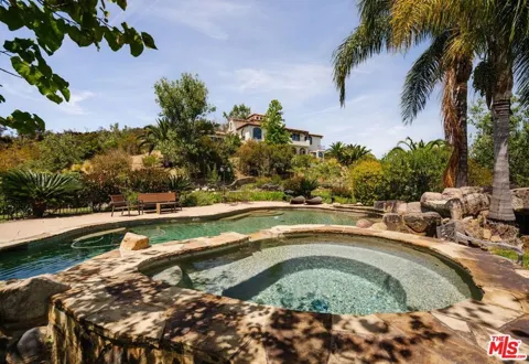
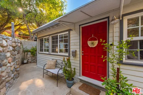
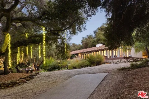
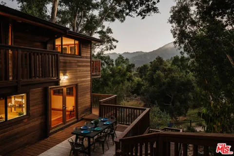
Topanga's housing is deliberately unconventional, reflecting its history as a retreat rather than a tract suburb. The stock ranges from early- and mid-twentieth-century cabins, beach cottages, and ranch houses to newer hillside and canyon homes, many set on larger, irregularly shaped lots that follow the terrain. Several neighborhoods began as weekend-cabin colonies and gradually converted to year-round residences. Seclusion, mature oaks, and canyon views are common, while uniformity is rare. Because Topanga sits in a high-fire-risk mountain environment and much of the surrounding land is protected parkland, the supply of homes is constrained and the character of individual properties varies more than in nearby suburban markets.
Neighborhoods
Topanga is organized around the canyon's winding roads rather than a single downtown. Distinct pockets include Old Topanga, the community's historic core; Fernwood, a wooded area that developed around early cabin colonies; and Sylvia Park, where weekend cabins began appearing in the 1930s. Glenview and Greenleaf Canyon extend into the hills to the north and west, offering more remote, view-oriented settings. There is no traditional commercial center; instead, a handful of local businesses cluster along Topanga Canyon Boulevard, and residents rely on Malibu, Pacific Palisades, and the Valley for most services.
Lifestyle in Topanga
Topanga's culture is rooted in the creative, independent spirit that drew artists and musicians to the canyon in the 1960s, and much of that ethos endures. Life here is low-density and outdoor-oriented, centered on trails, gardens, small community gatherings, and a handful of beloved local institutions rather than a busy commercial scene. The community is famously close-knit, with a strong local identity and a degree of self-sufficiency that reflects its physical isolation. It suits people who want a rural-feeling, nature-centered life without leaving Los Angeles County entirely—a trade-off that has long attracted artists, writers, and those seeking quiet.
Schools & Education
Topanga falls within the Los Angeles Unified School District. The community's youngest students attend Topanga Elementary Charter School, a small, high-performing K-5 charter campus that emphasizes arts and environmental science and serves a few hundred students. After elementary school, students continue within LAUSD to middle and high schools outside the canyon, typically in the western San Fernando Valley or coastal area. The district's enormous geographic scale means families weigh the small, intimate elementary experience against longer commutes for secondary school.
Getting Around
Topanga is reached primarily by Topanga Canyon Boulevard, the winding state highway that connects the Pacific Coast Highway at the canyon's mouth to the San Fernando Valley at its northern end. The road is scenic but narrow and serpentine, and it is the community's lifeline to the rest of Los Angeles. There is no rail service in the canyon; commuting residents drive to the coast, the Valley, or connecting freeways such as the 101. During storms or fires, canyon access can be affected, a reality long understood by residents who accept the trade-off for the setting.
Parks & Recreation
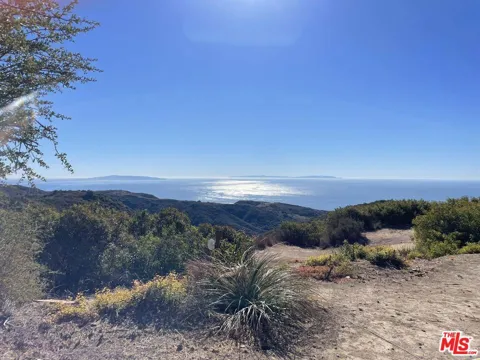
Topanga State Park is the defining outdoor amenity, an 11,525-acre preserve within the Santa Monica Mountains National Recreation Area that stretches from Pacific Coast Highway to the hills above the San Fernando Valley. Its network of trails draws hikers, mountain bikers, and equestrians through oak woodlands and chaparral with sweeping views of the coast and the city. The broader national recreation area links Topanga to a vast system of parkland across the Santa Monica Mountains, and the nearby coast adds beaches and surf access. For residents, open space is not an occasional destination but the everyday backdrop.
About Topanga
Frequently asked questions
Is Topanga a city?
No, Topanga is an unincorporated community in Los Angeles County, classified by the U.S. Census Bureau as a census-designated place. It is not an incorporated city, so it is governed directly by the county rather than by its own municipal government.
Where is Topanga located?
Topanga sits in the Santa Monica Mountains of western Los Angeles County, occupying Topanga Canyon and the surrounding hills. Its southern end meets the coast between Malibu and Pacific Palisades, while the northern end climbs toward the San Fernando Valley.
What school district serves Topanga?
Topanga is part of the Los Angeles Unified School District. The community's elementary students attend Topanga Elementary Charter School, a small K-5 charter campus focused on arts and environmental science, while secondary students continue at LAUSD schools outside the canyon.
What is Topanga known for?
Topanga is known for its semi-rural canyon setting and its history as a 1960s counterculture haven for musicians and artists. The community retains a bohemian, nature-centered character and is surrounded by Topanga State Park and the Santa Monica Mountains National Recreation Area.
What is Topanga State Park?
Topanga State Park is an 11,525-acre California state park within the Santa Monica Mountains National Recreation Area. It stretches from the Pacific Coast Highway to the hills above the San Fernando Valley and offers extensive hiking, biking, and equestrian trails through oak woodlands and chaparral.
Still have questions about Topanga?
Get in touchExplore the area
